Day 3: Salmon River to Bear Valley/ Fir Creek
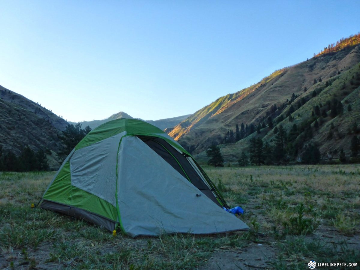
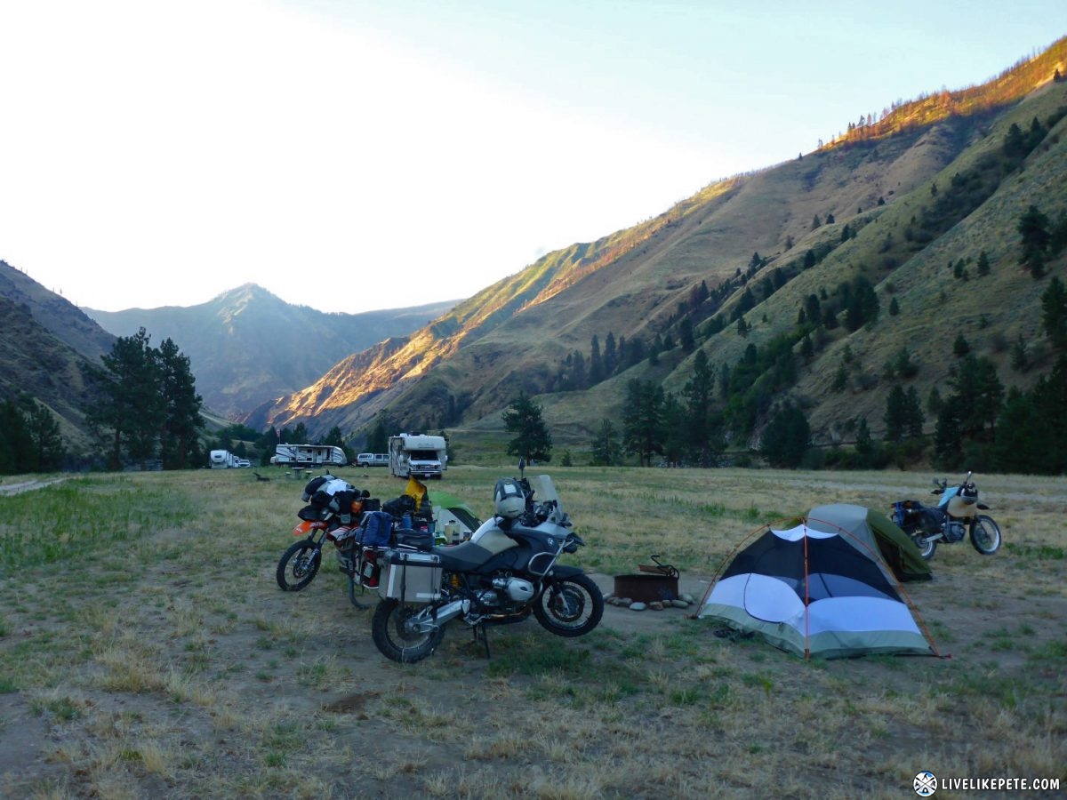
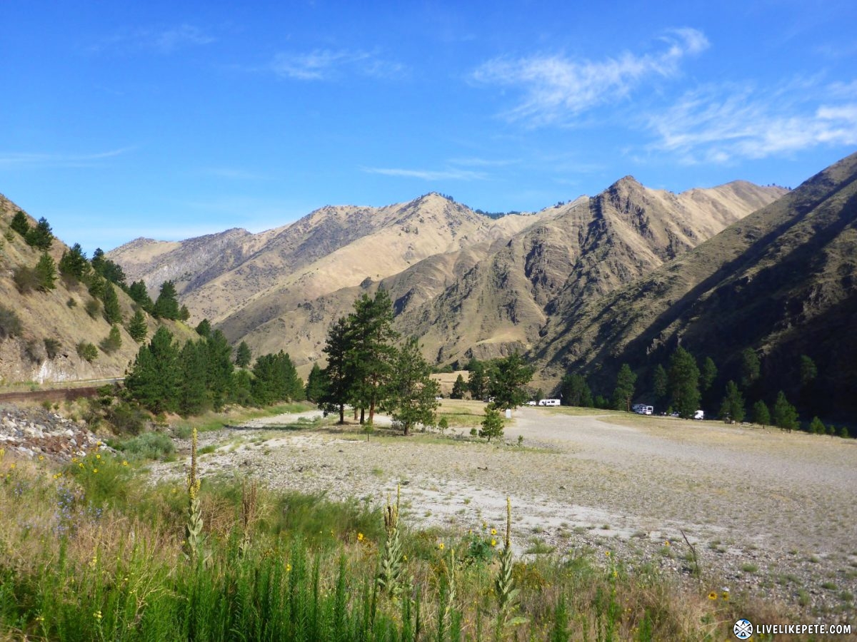
Saturday morning at Salmon River we woke up to slightly warmer temperatures than the previous mornings. The elevation where we camped was only 1980 feet.
I fired up the Jetboil to make some coffee.
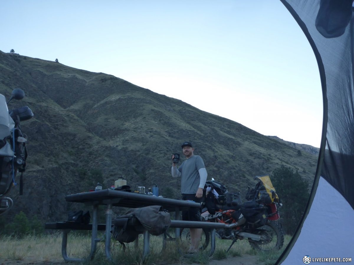
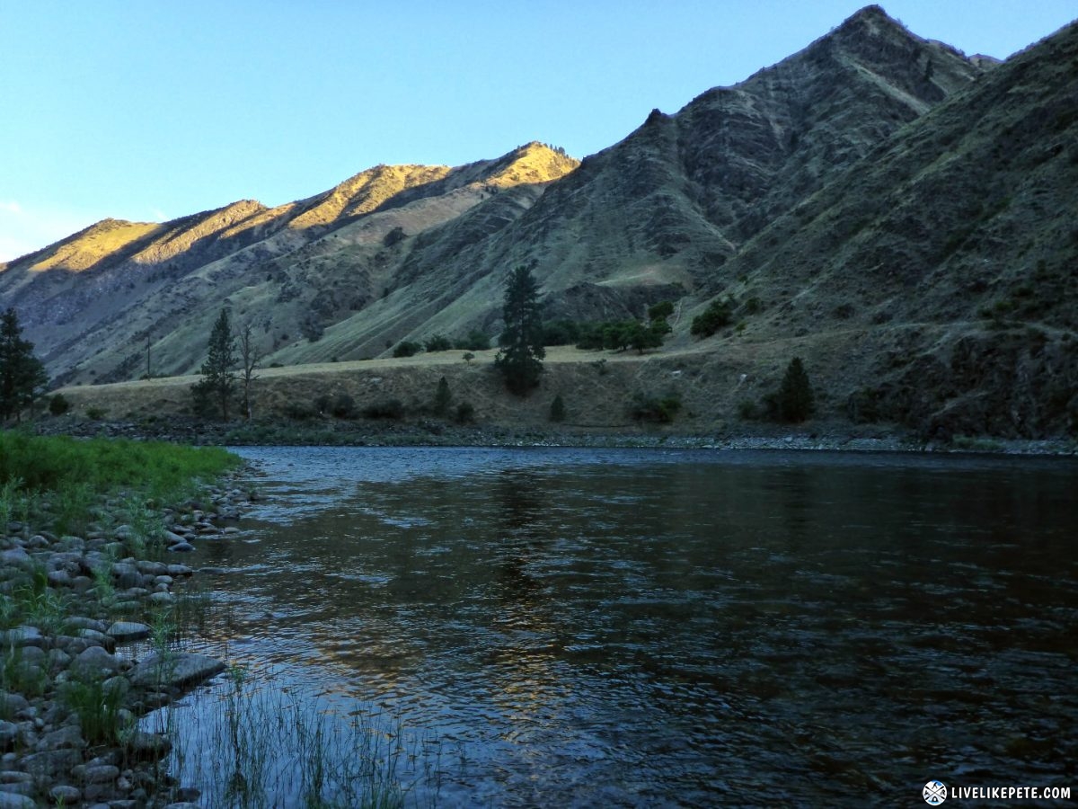
Walking down to the water with my coffee became a morning routine. I could get used to that.
Being at that lower elevation, it started warming up really quick so we got our stuff packed up quickly.
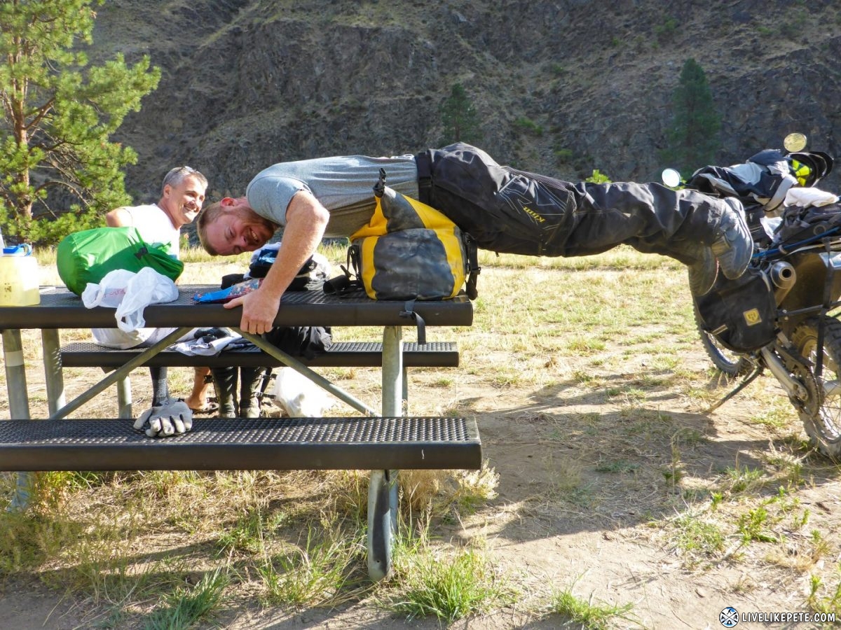
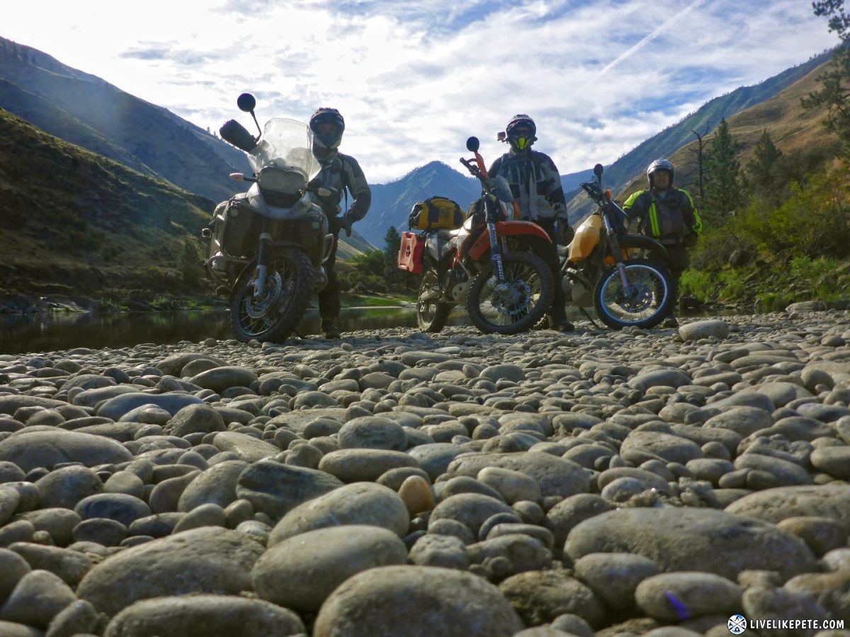
We broke camp and posed on the river for a group photo. We were ready for some more adventure!
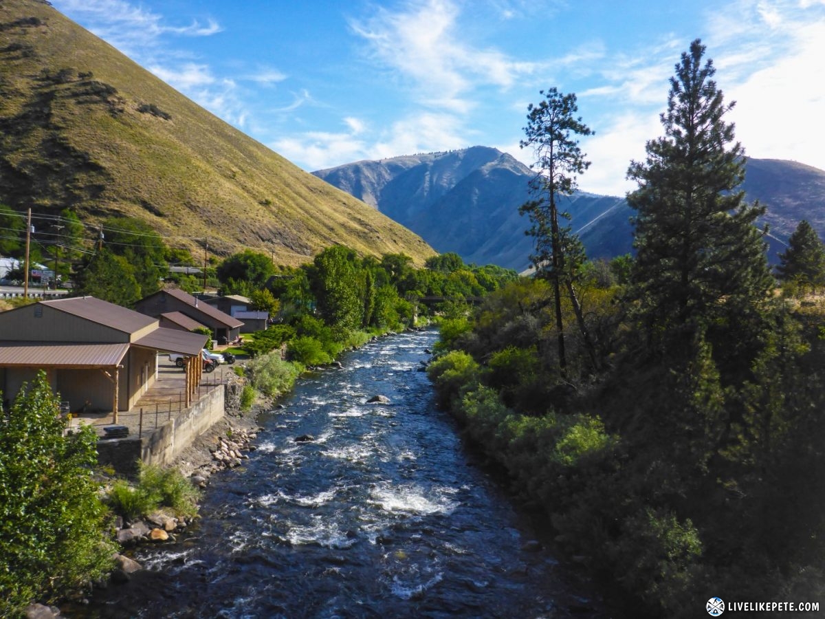
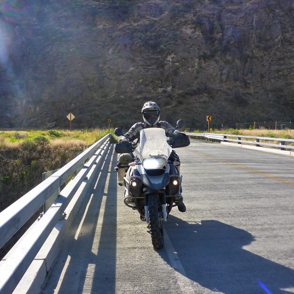
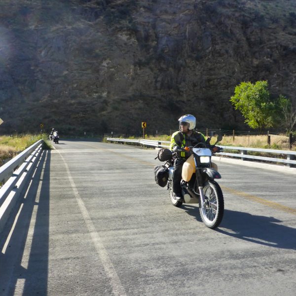
We crossed the Little Salmon River at Riggins.
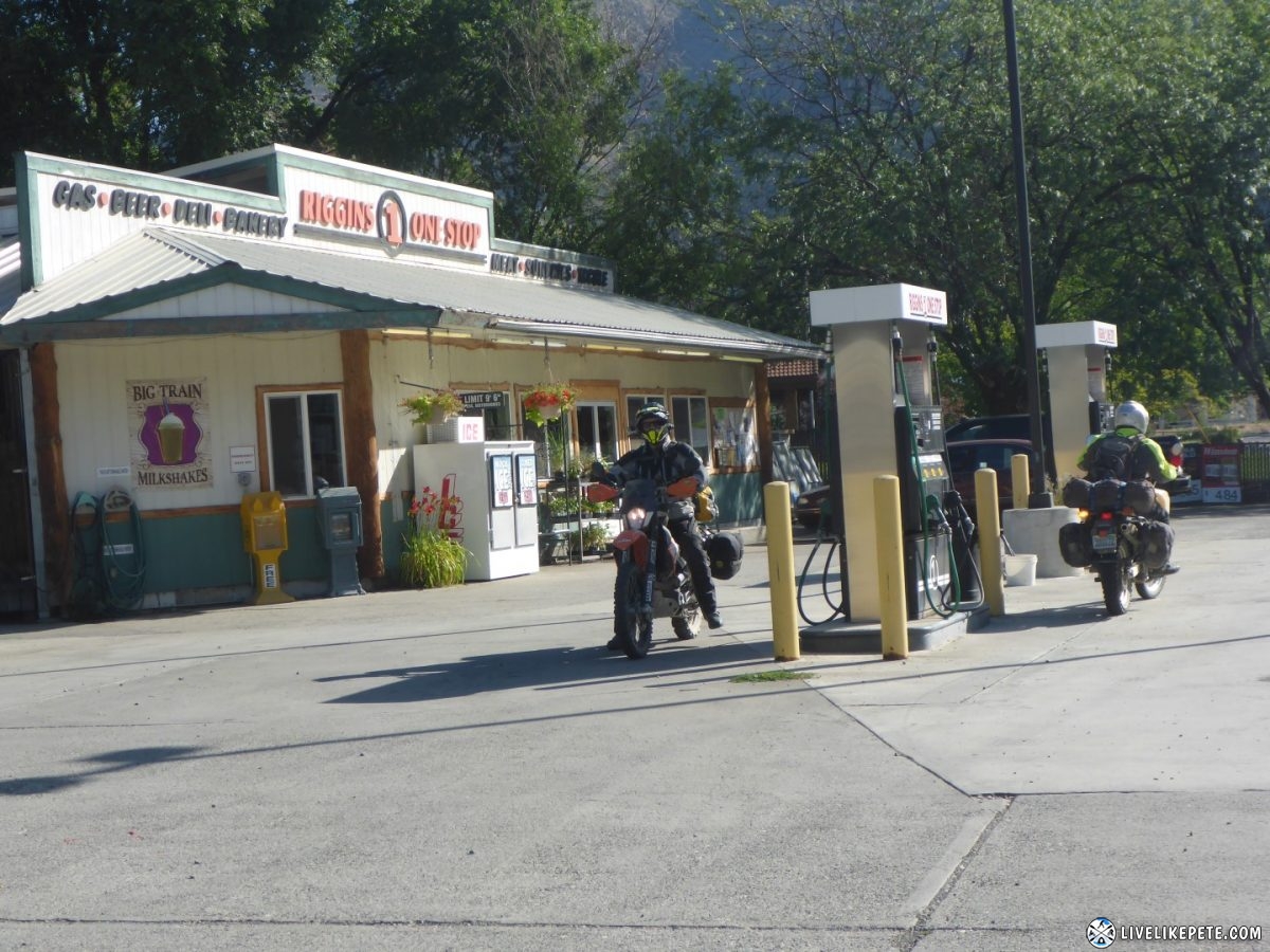
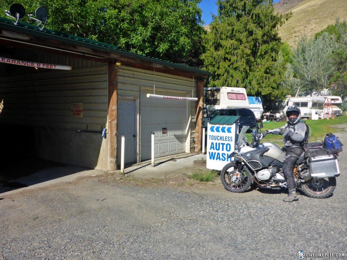
After fueling up in Riggins, Steve contemplated giving Oprah a bath.
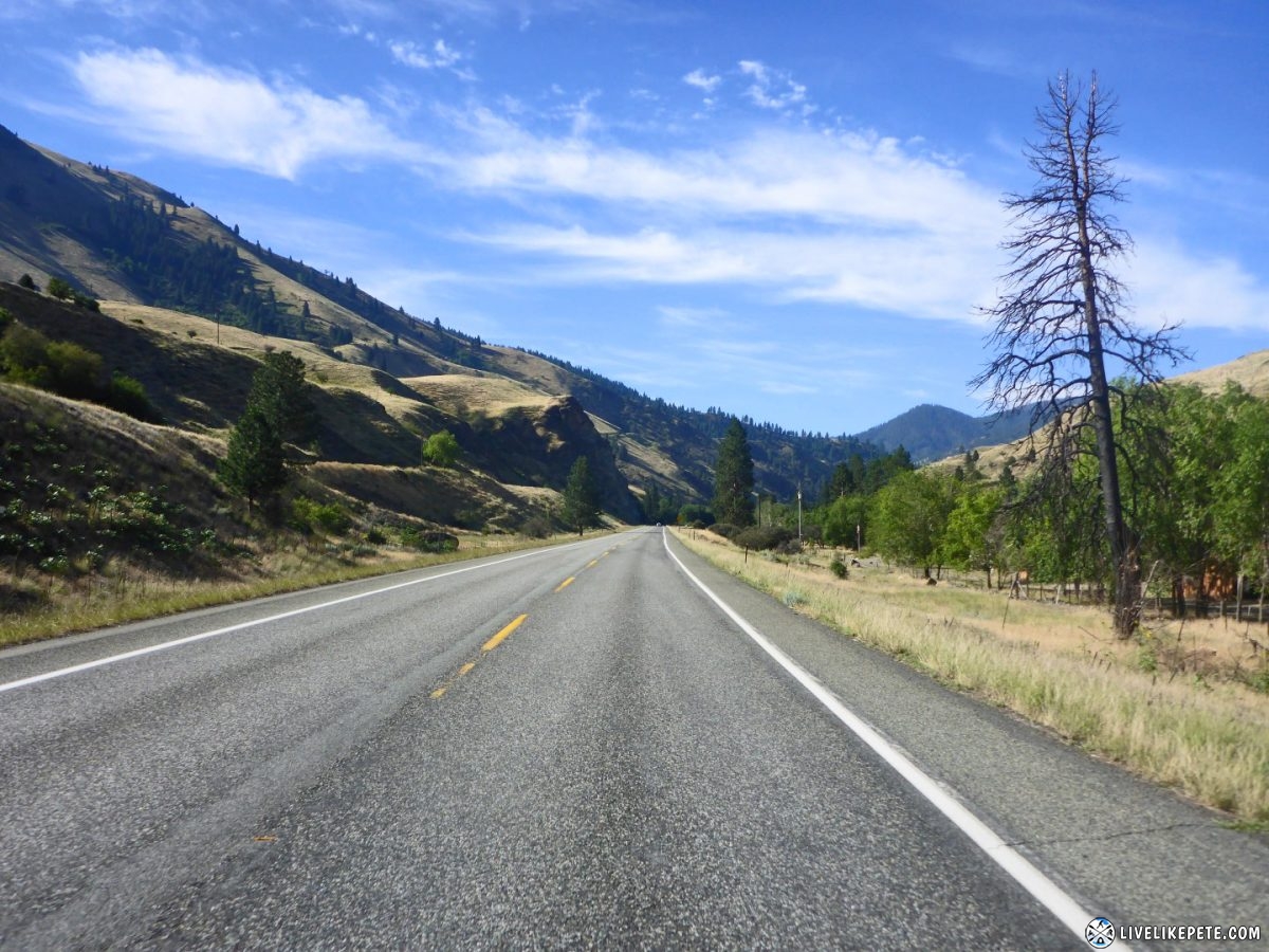
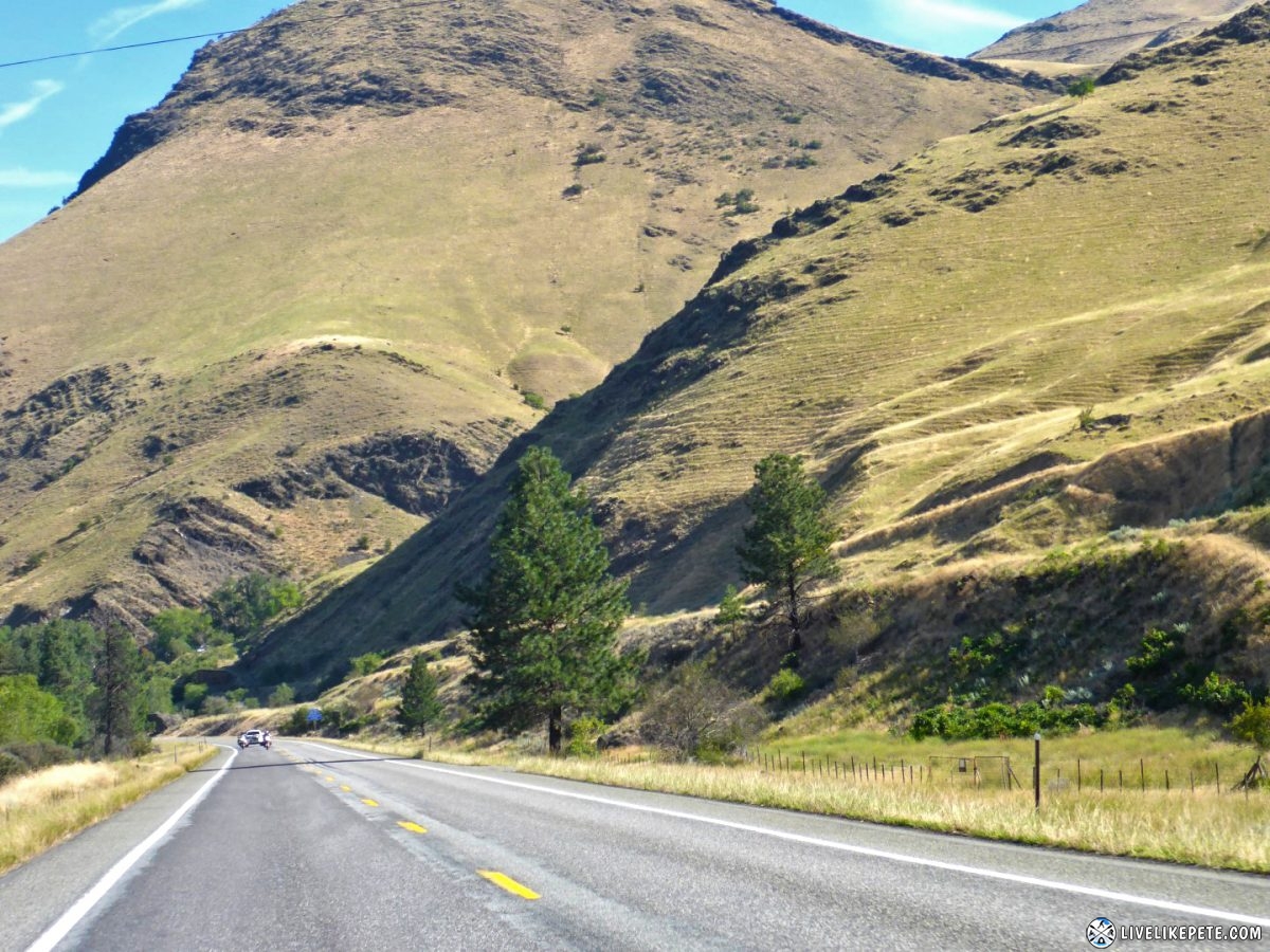
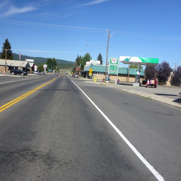
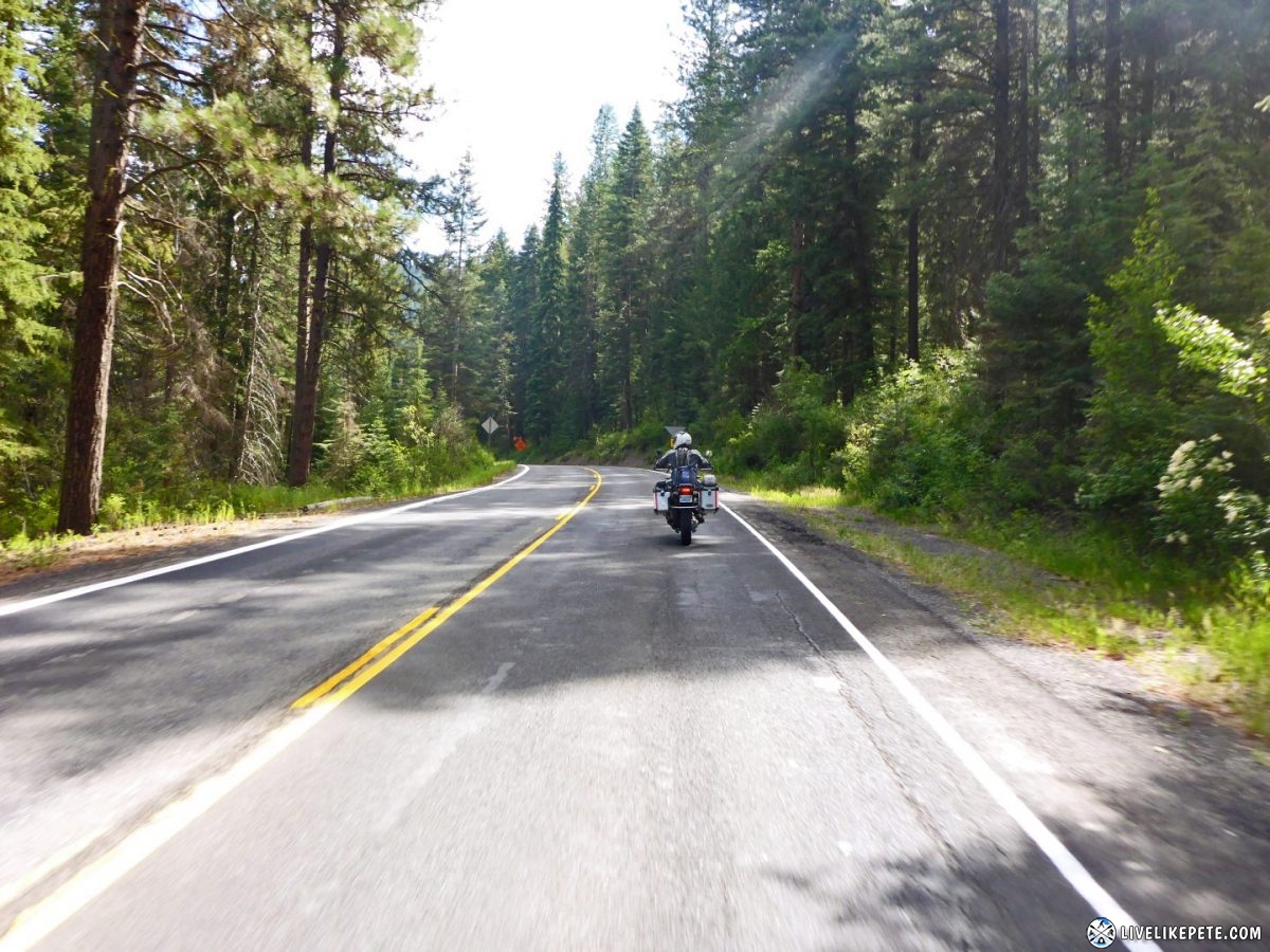
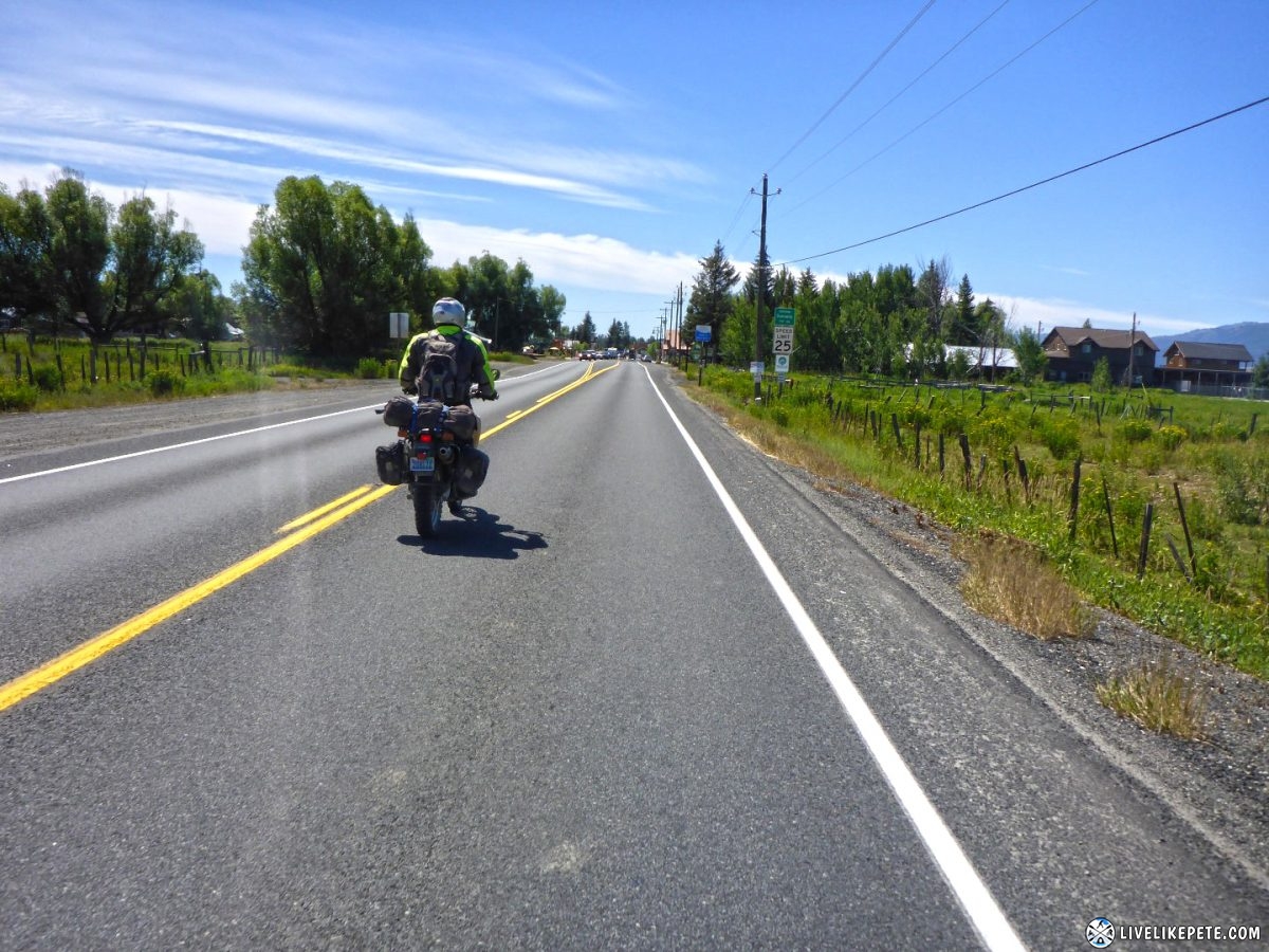
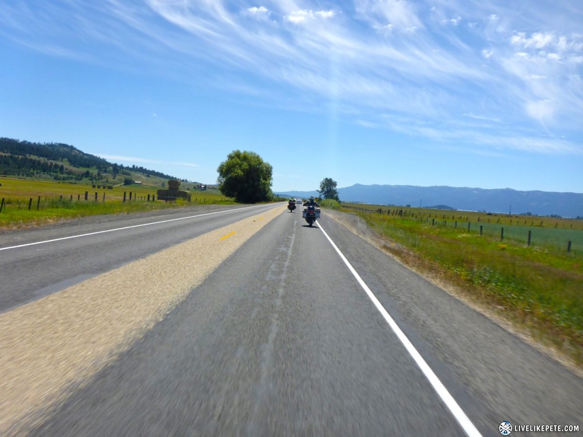
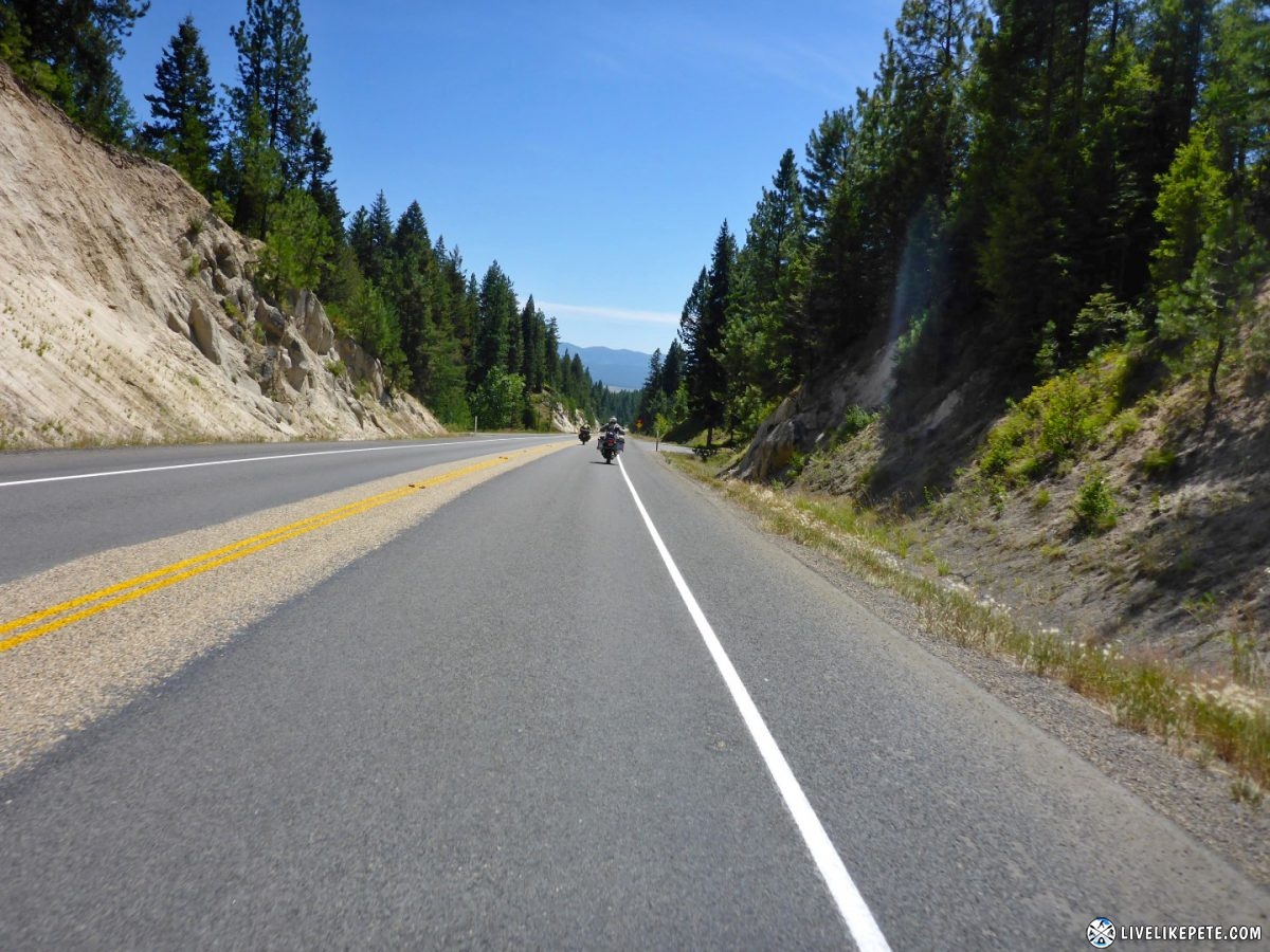
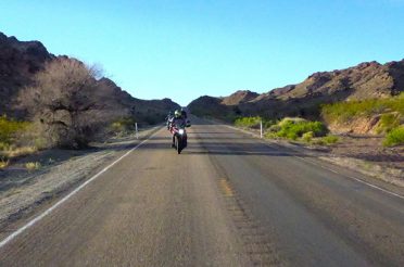
We continued south on the open road. The weather was nice and cool. It was almost a bit chilly at freeway speeds.
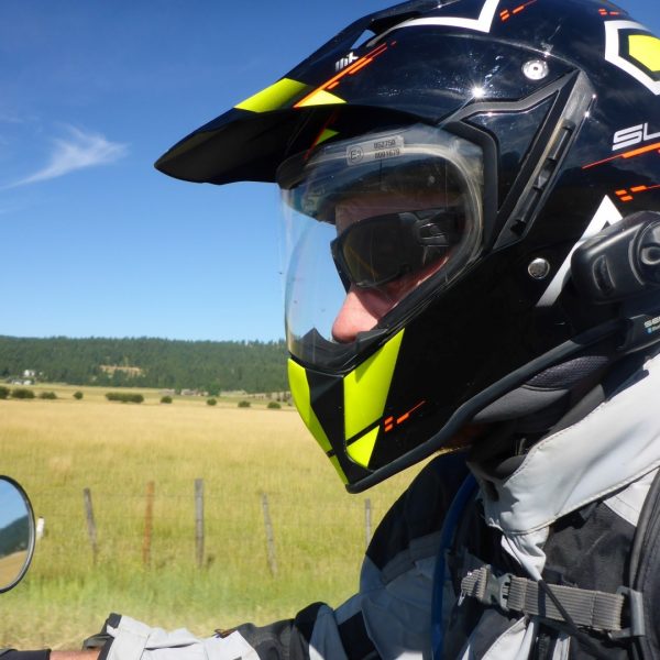
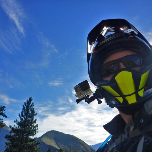
Long stretches of highway call for highway selfies. I was also pretty stoked about my new Suomy helmet.
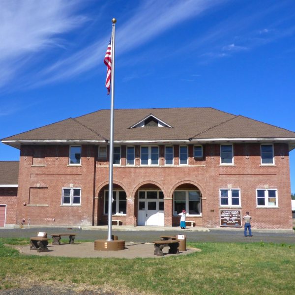
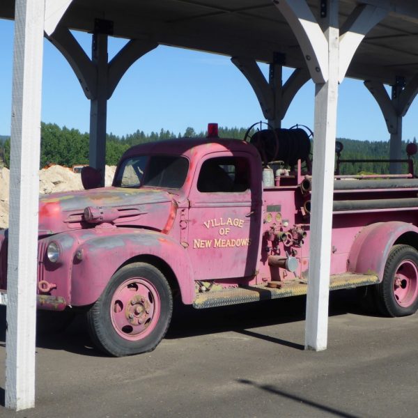
We pulled into New Meadows to check out the small town.
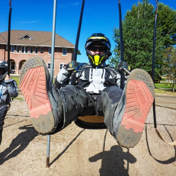
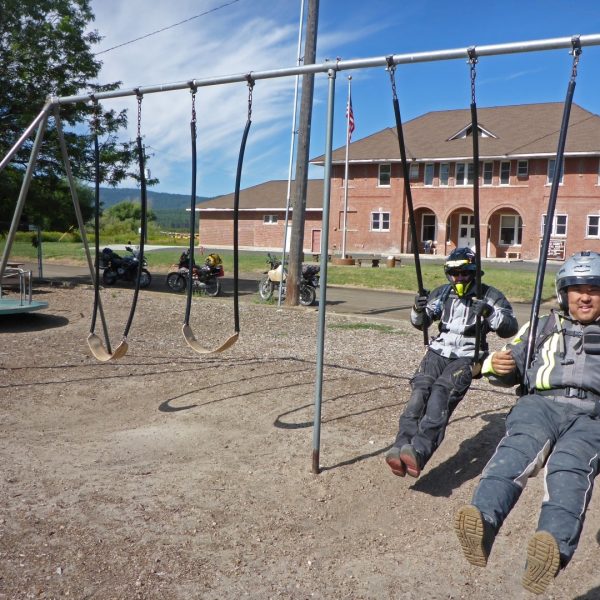
Oh look, another playground! We were on it.
Then we headed east on the 55.
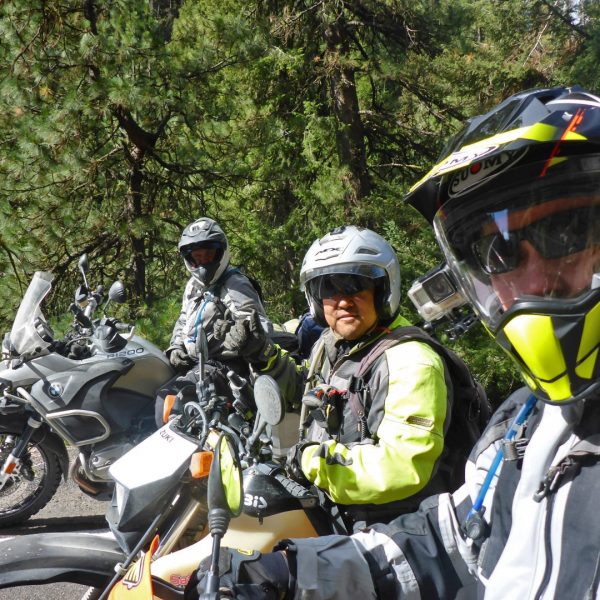
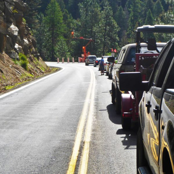
There was plenty of time for a 3 amigos selfie at the single lane construction delay.
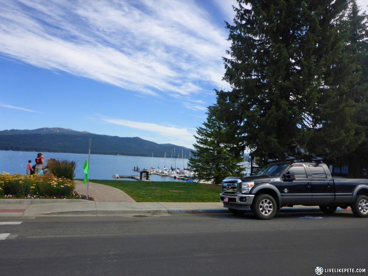
Pulling into McCall, we passed the Payette Lake on our left.
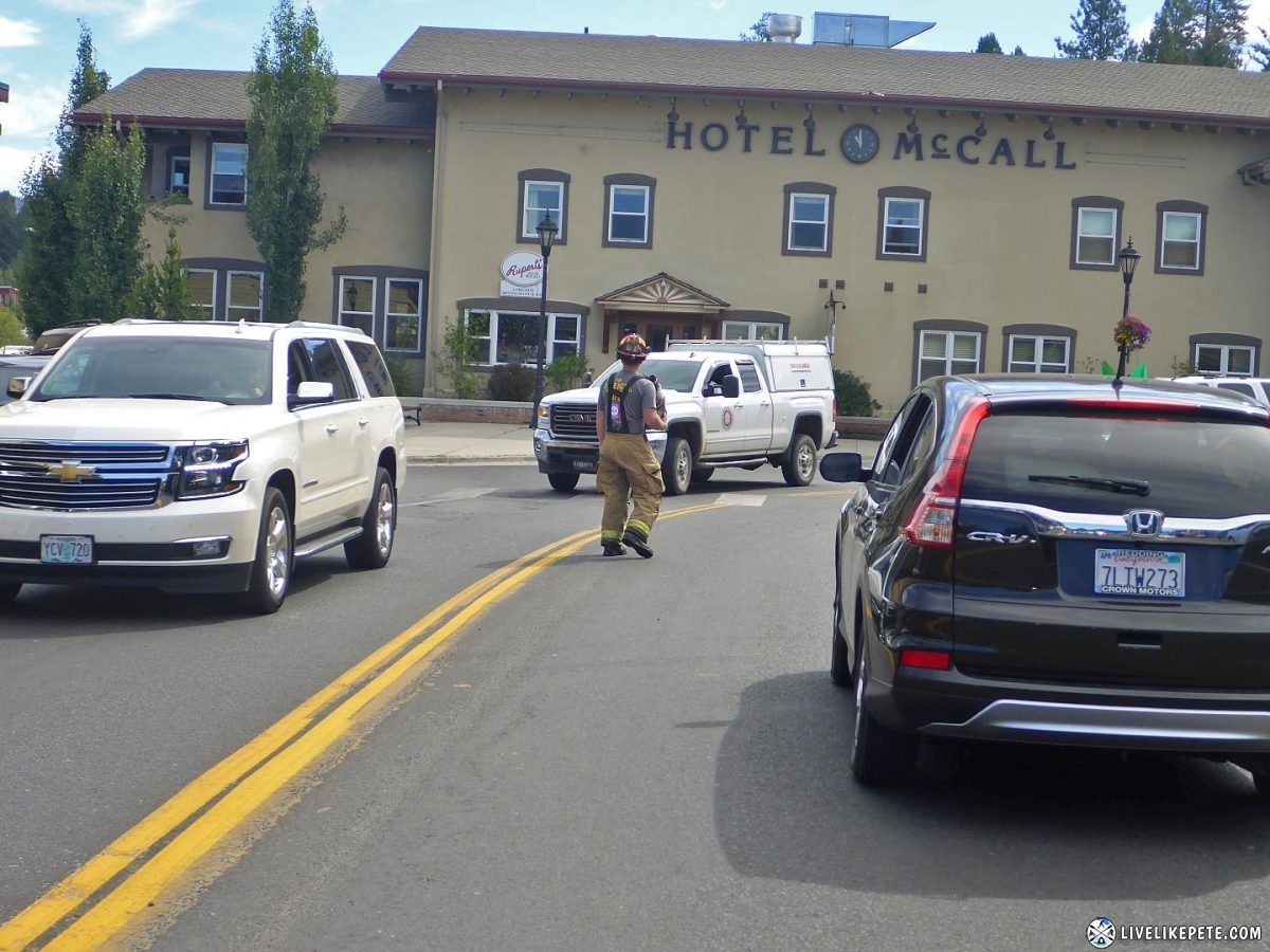
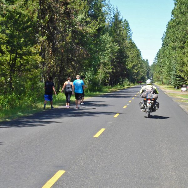
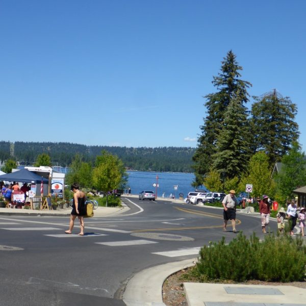
I’m not sure what was going on in this little town of less than 3000 people, but it seemed like there were more visitors than residents.
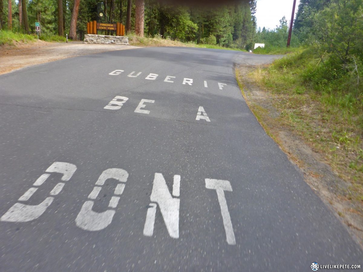
I have no idea what this meant, but later found out it meant “Don’t be a Firebug”. Guberif is firebug spelled backwards. Interesting.
We followed this super cool Earth Roamer for a little while down the road, then just before it turned into dirt it seemed like the guy didn’t want to get it dirty and pulled into an RV resort. That’s alot of money for an RV just to travel down paved roads. 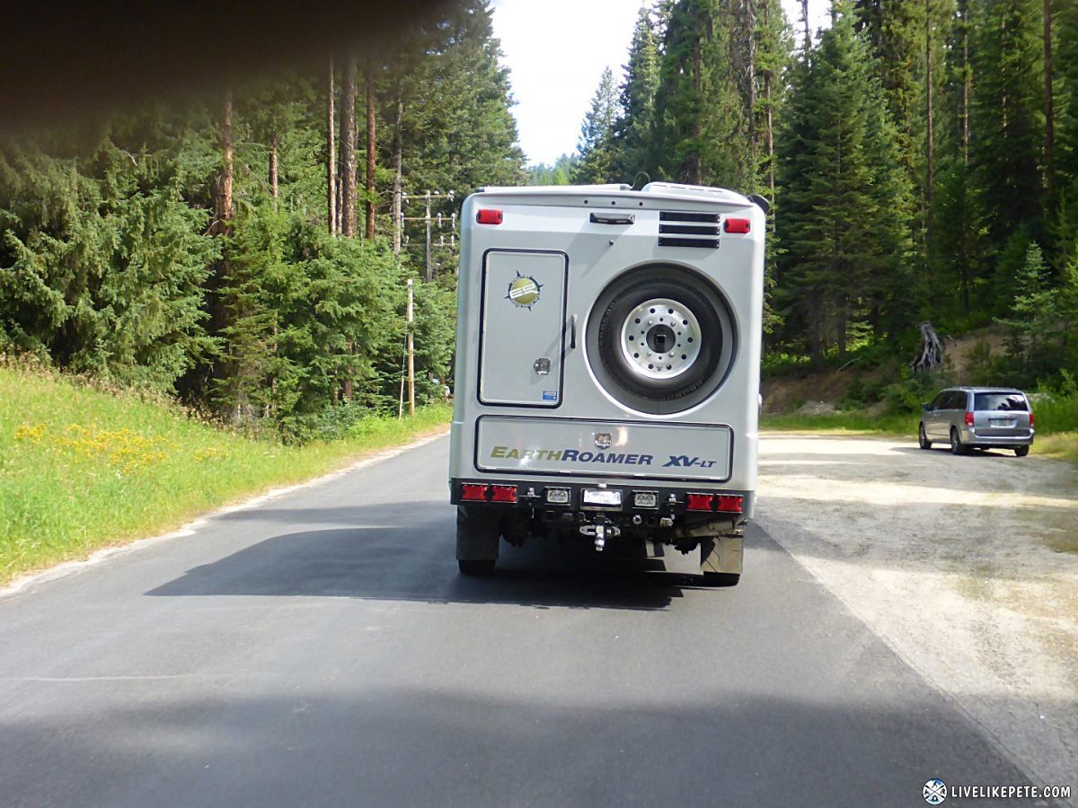
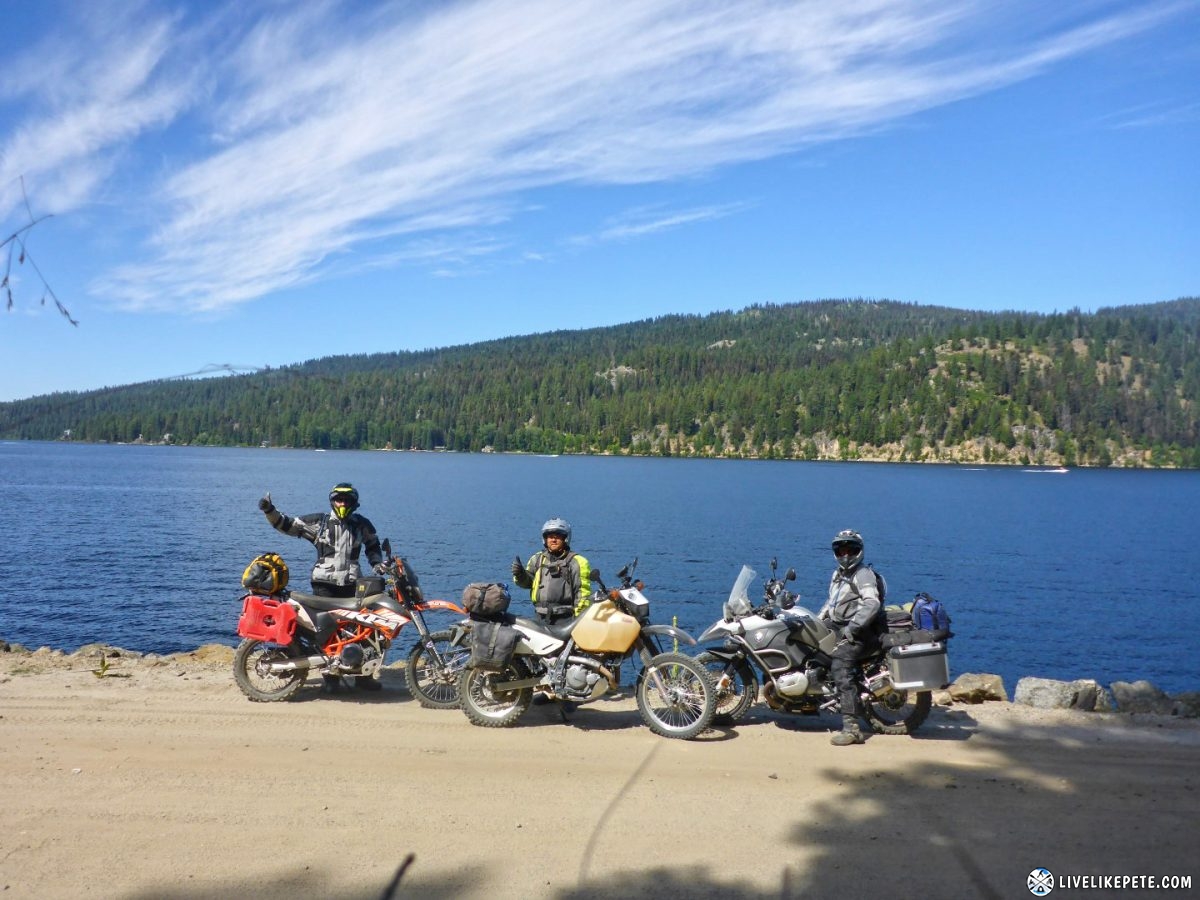
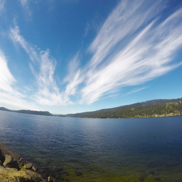
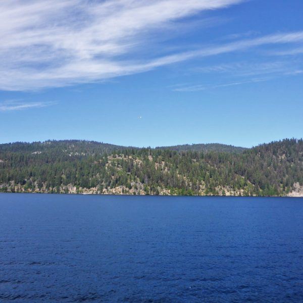
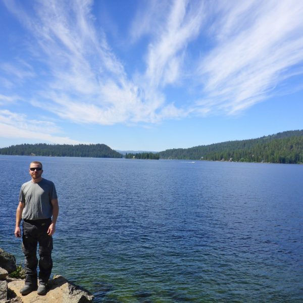
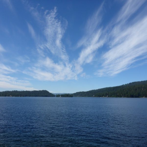
We headed north of town to check out the Payette Lake and get away from the crazy crowds.
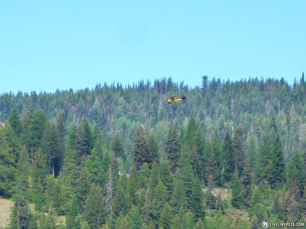
A few small planes flew over the lake while we were there.
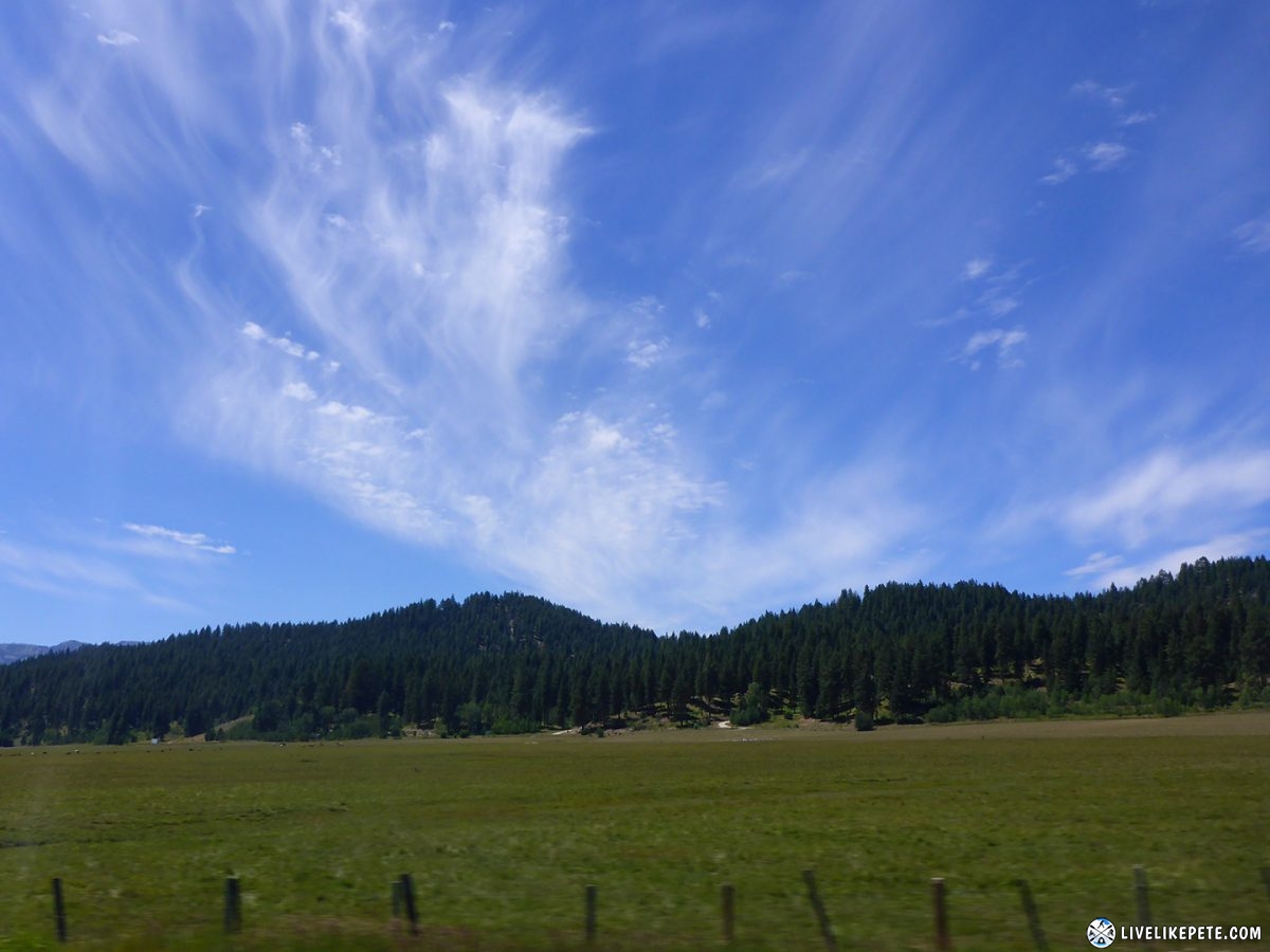
The clouds and blue skies were awesome.
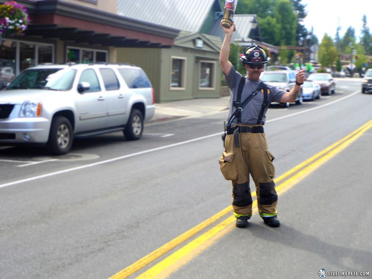
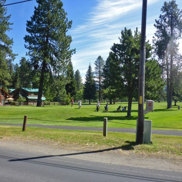
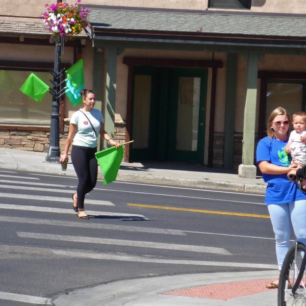
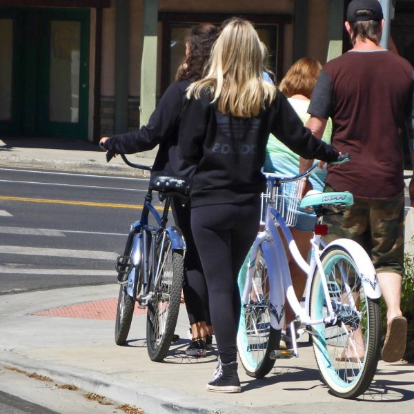
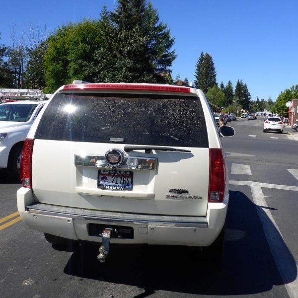
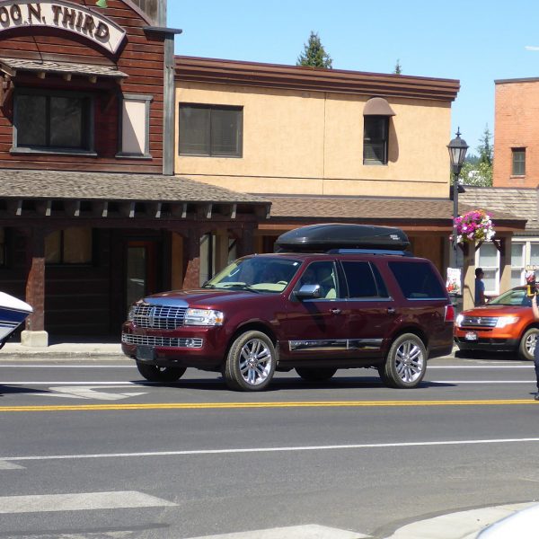
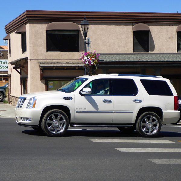
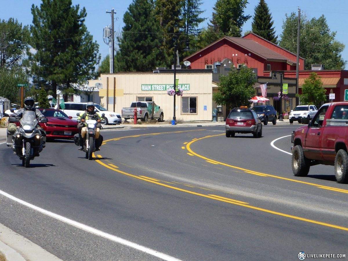
Heading back through town we felt and looked very out of place. Escalades & Navigators, yoga pants, golfers, and people jogging everywhere. It was yuppie central!
After sitting at a stop sign in the middle of town for what felt like 20 minutes, we were extremely happy to be moving south. McCall was a zoo!
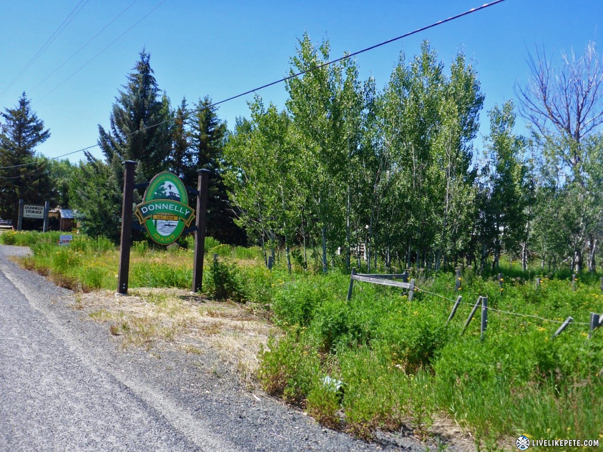
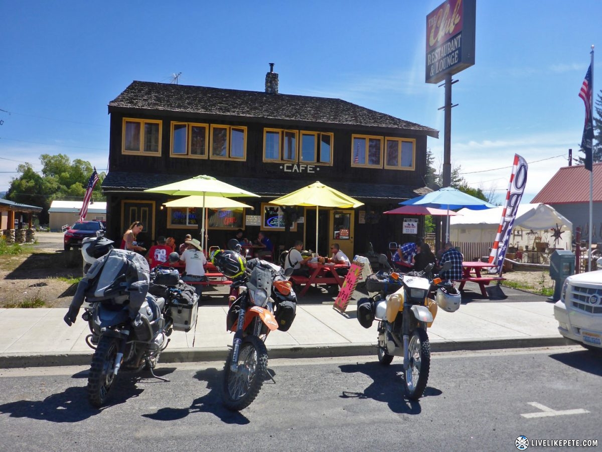
We pulled into Donnelly for lunch. Much quieter and more our scene.
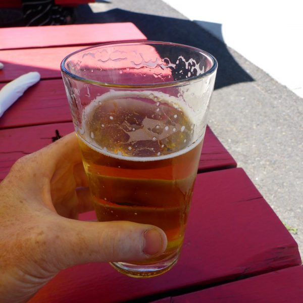
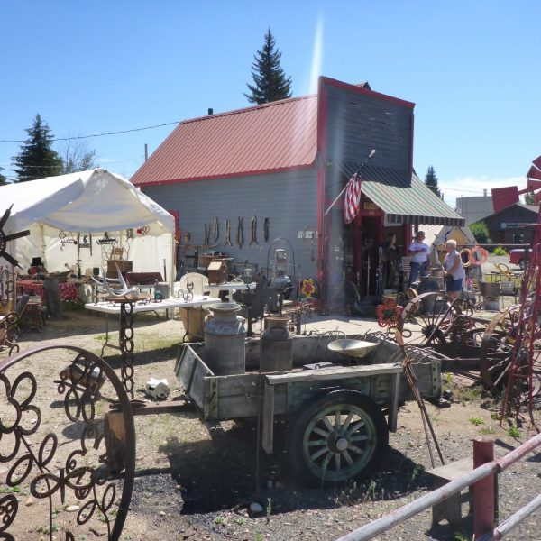
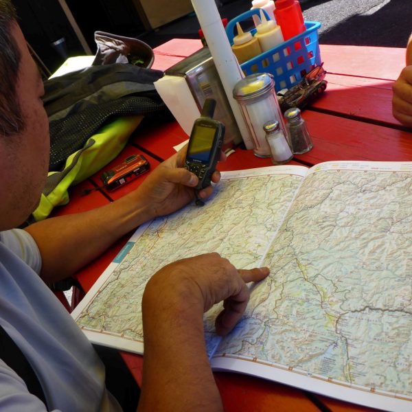
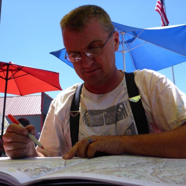
Lunch took a little while since they were understaffed, but it was ok. I had a beer, we browsed some antiques next door and then busted out the paper map to figure out a route south via dirt.
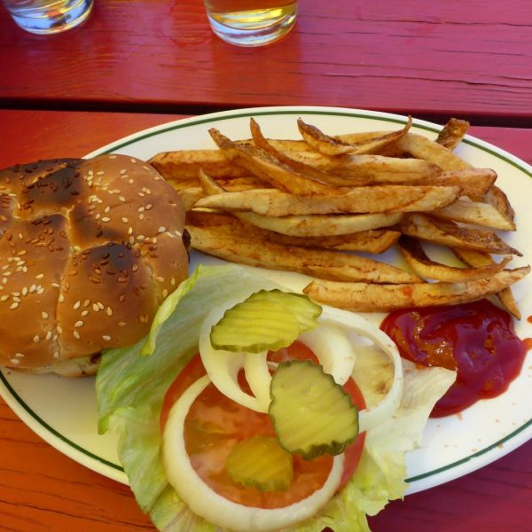
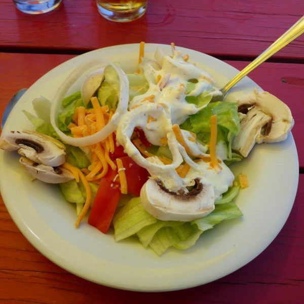
Lunch arrived. A burger and a salad hit the spot.
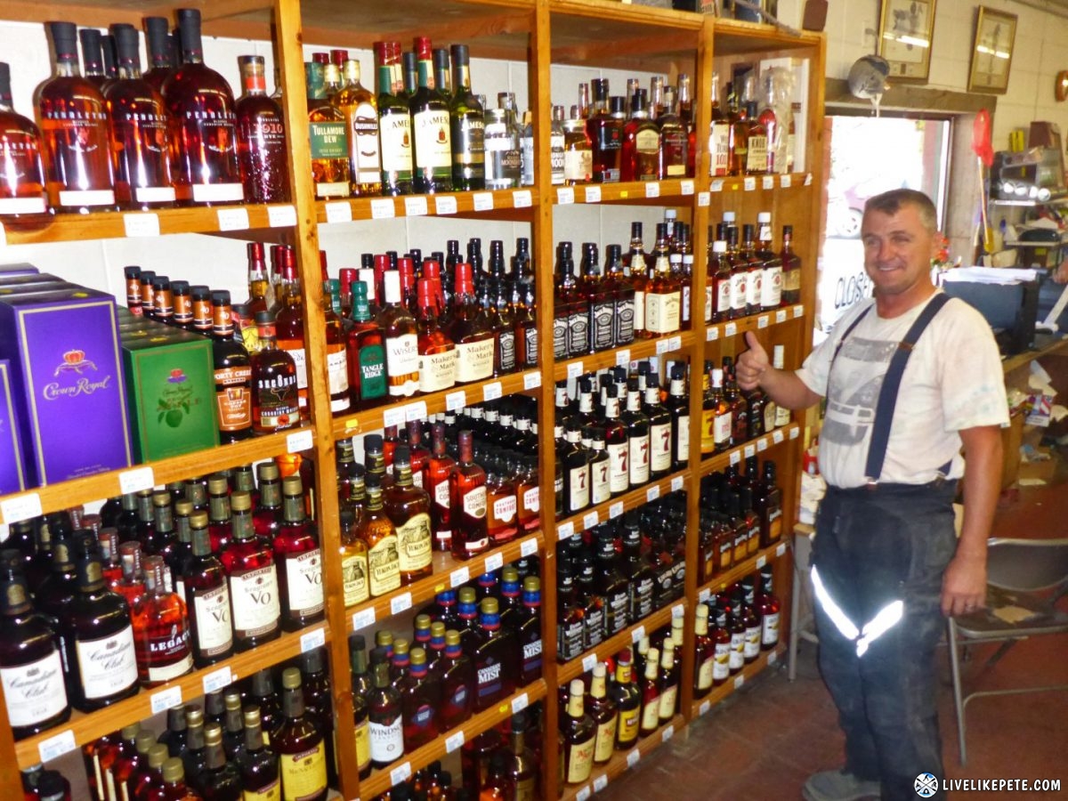
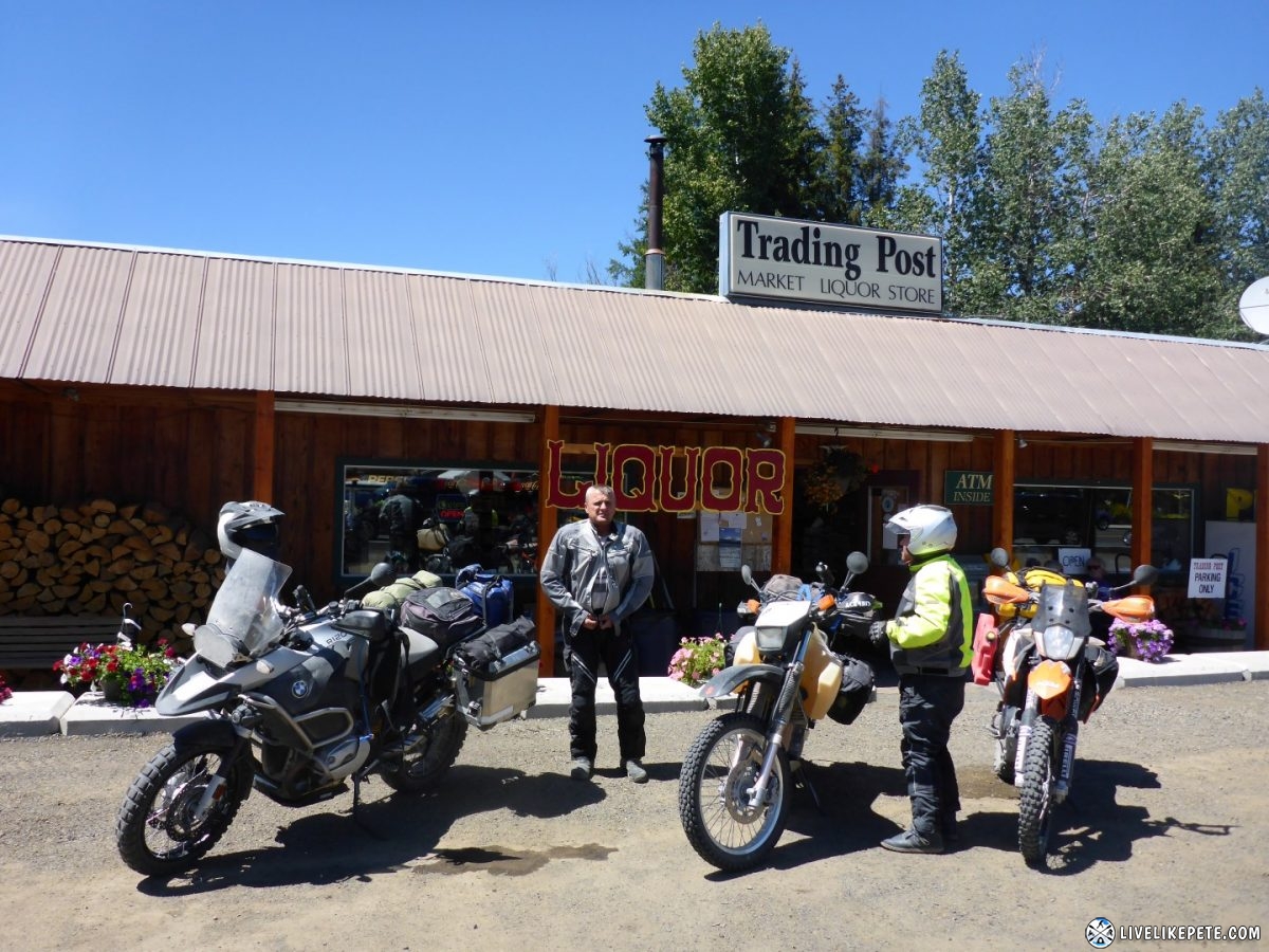
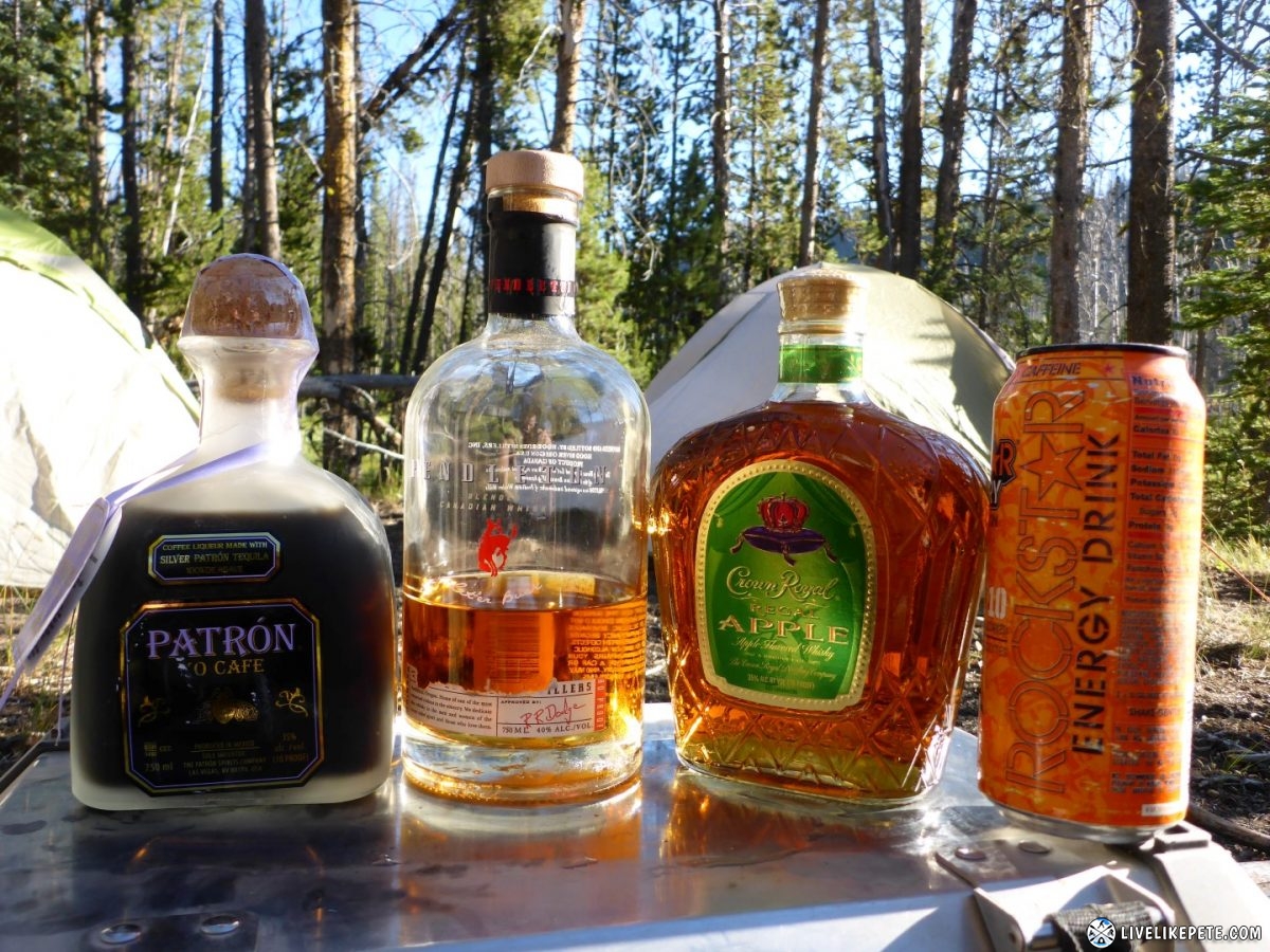
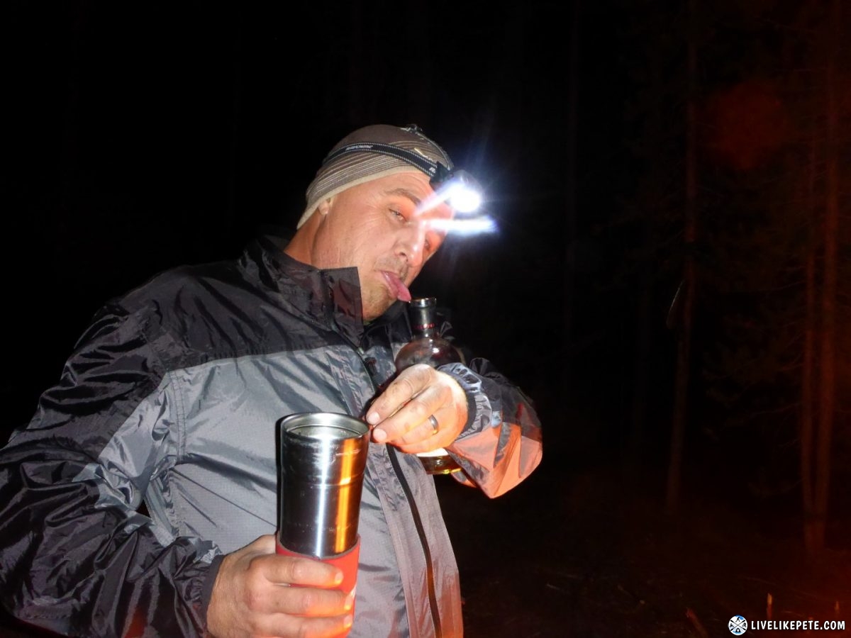
Donnelly convenience stores have it all! So we stocked up on whiskey (& tequila) for later.
Heading out of Donnelly.
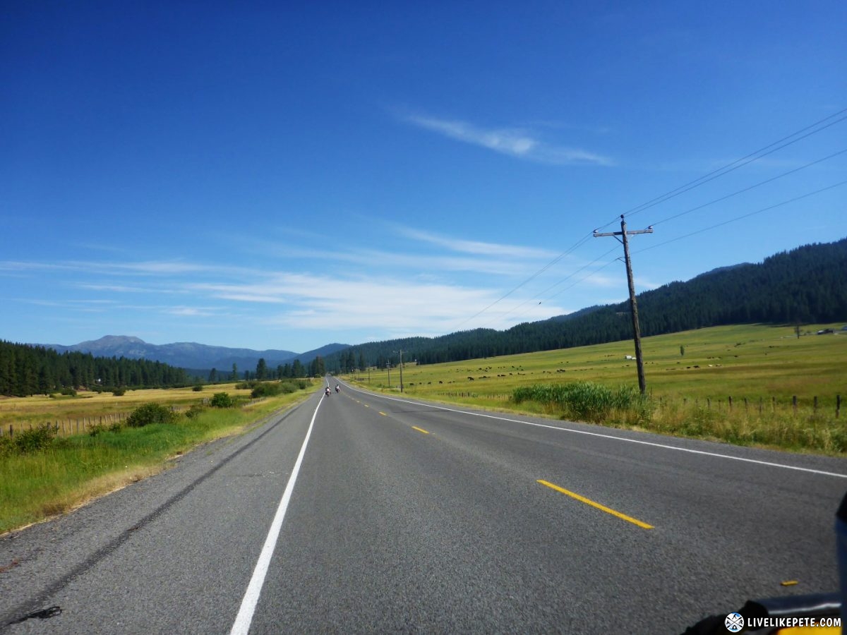
Heading further south down the highway, there was no shortage of green!
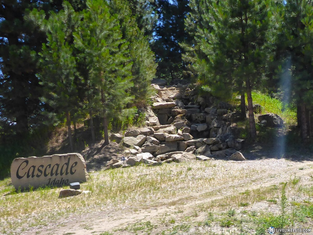
We topped off our fuel in the town of Cascade.
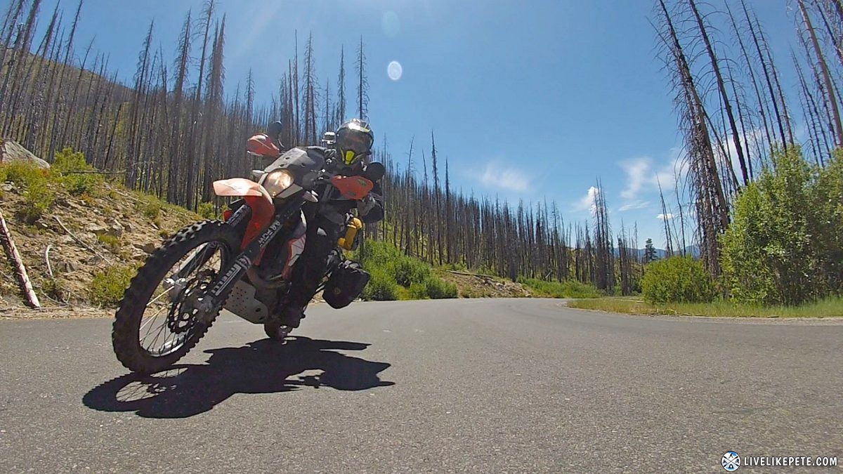
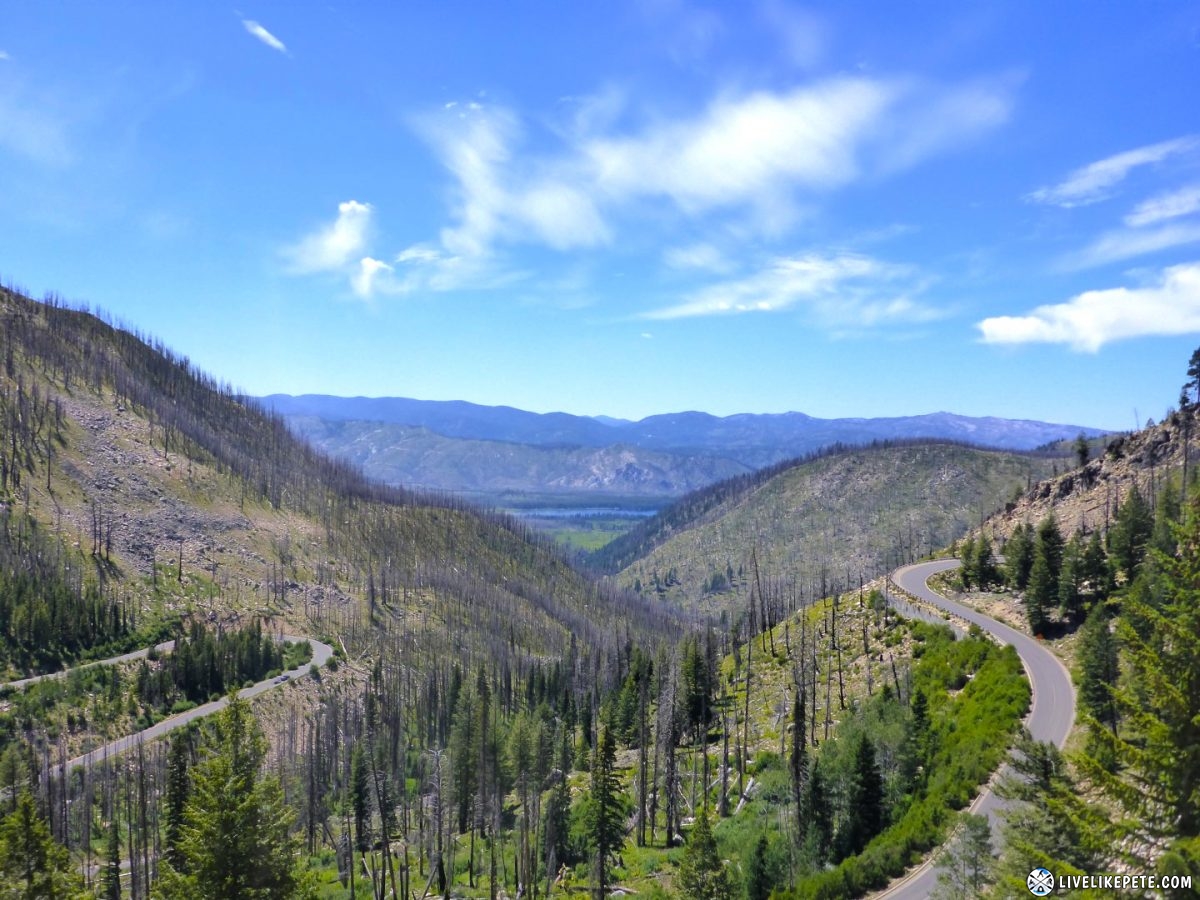
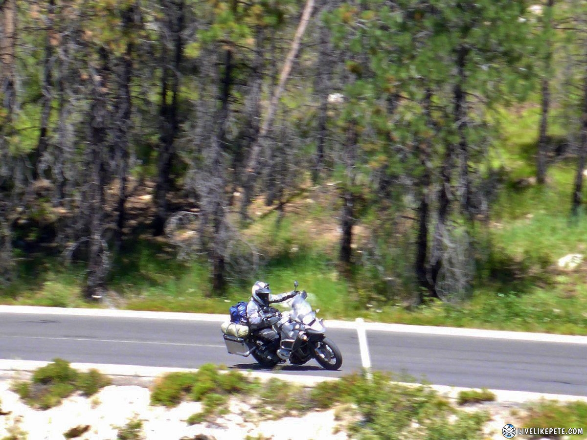
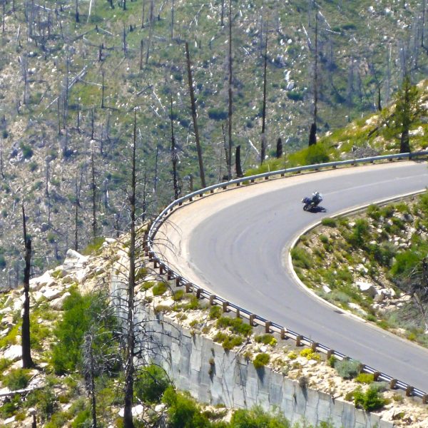
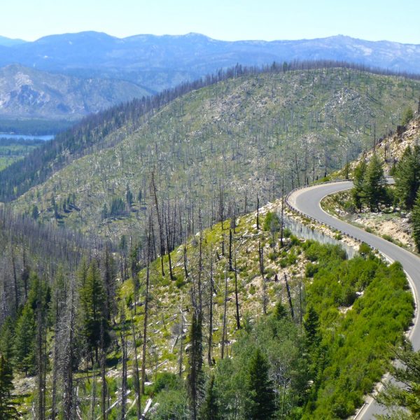
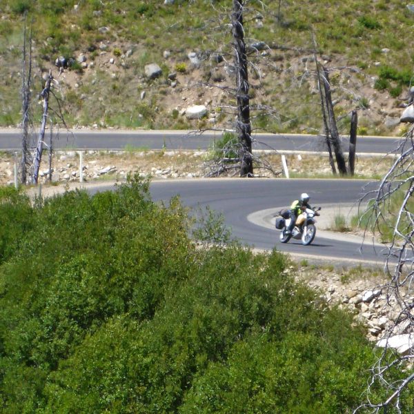
Heading east towards Warm Lake was a fun section of fast twisties and great views!
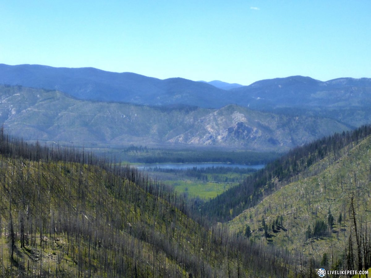
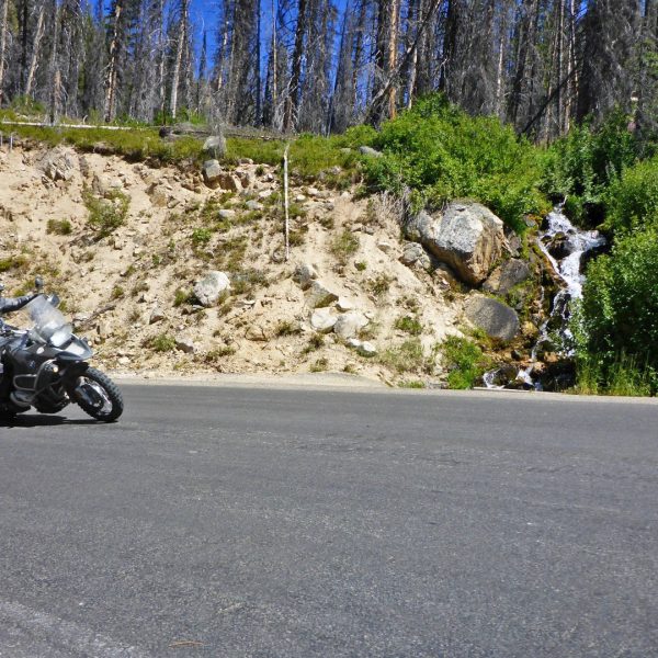
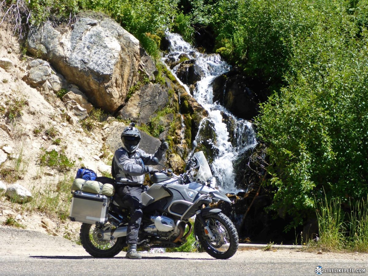
Just a random waterfall on the side of the road. No big deal! Love it!
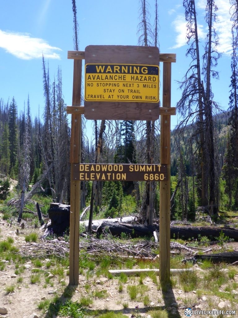
Back to dirt near Landmark, ID, we were back on our original set of tracks for a short while as we passed over Deadwood Summit then headed further east through Deer Creek.
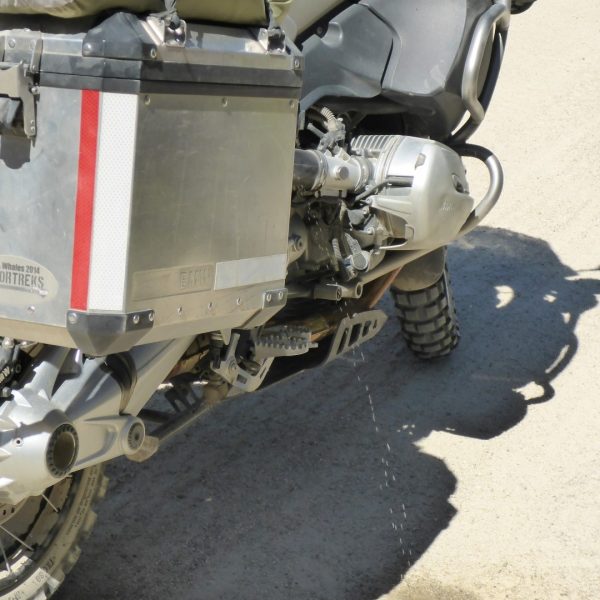
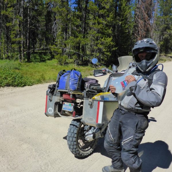
We stopped to find that Steve’s water jug sprung a leak.
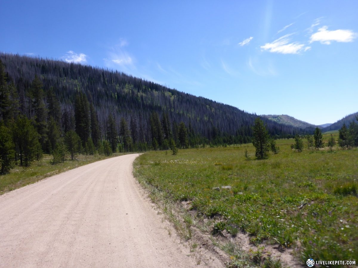
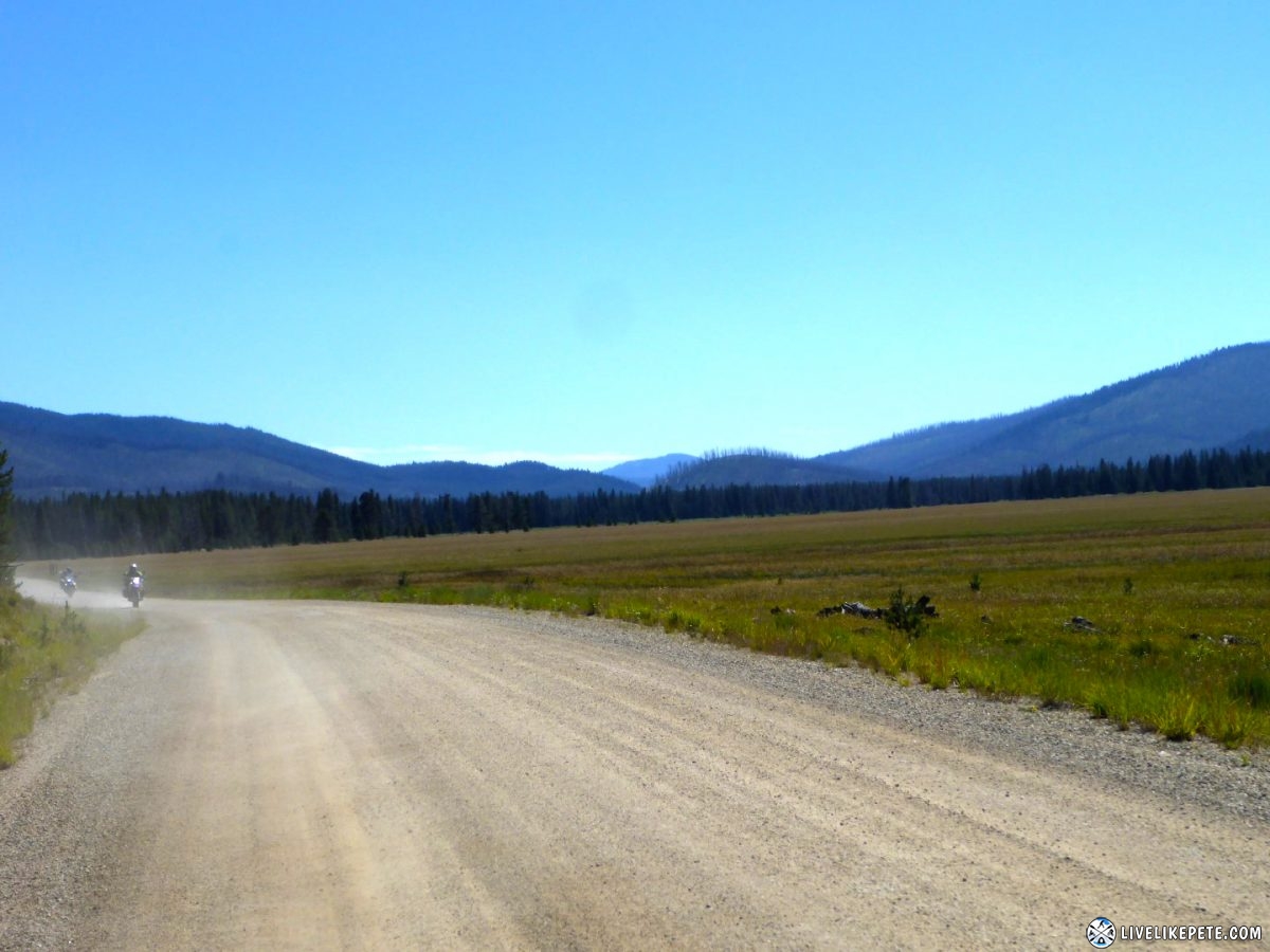
We headed through Bear Valley and over to Dagger Falls. There was this huge meadow on the way.
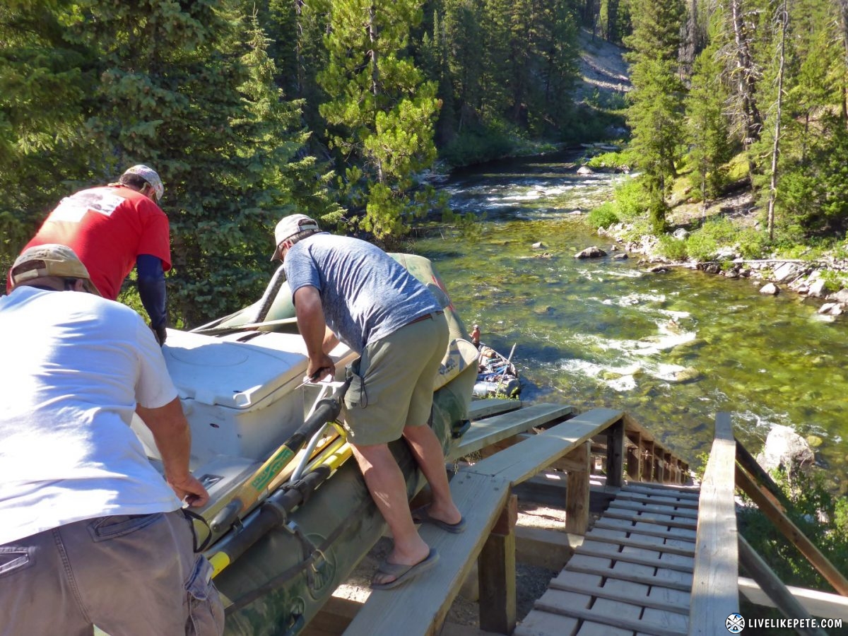
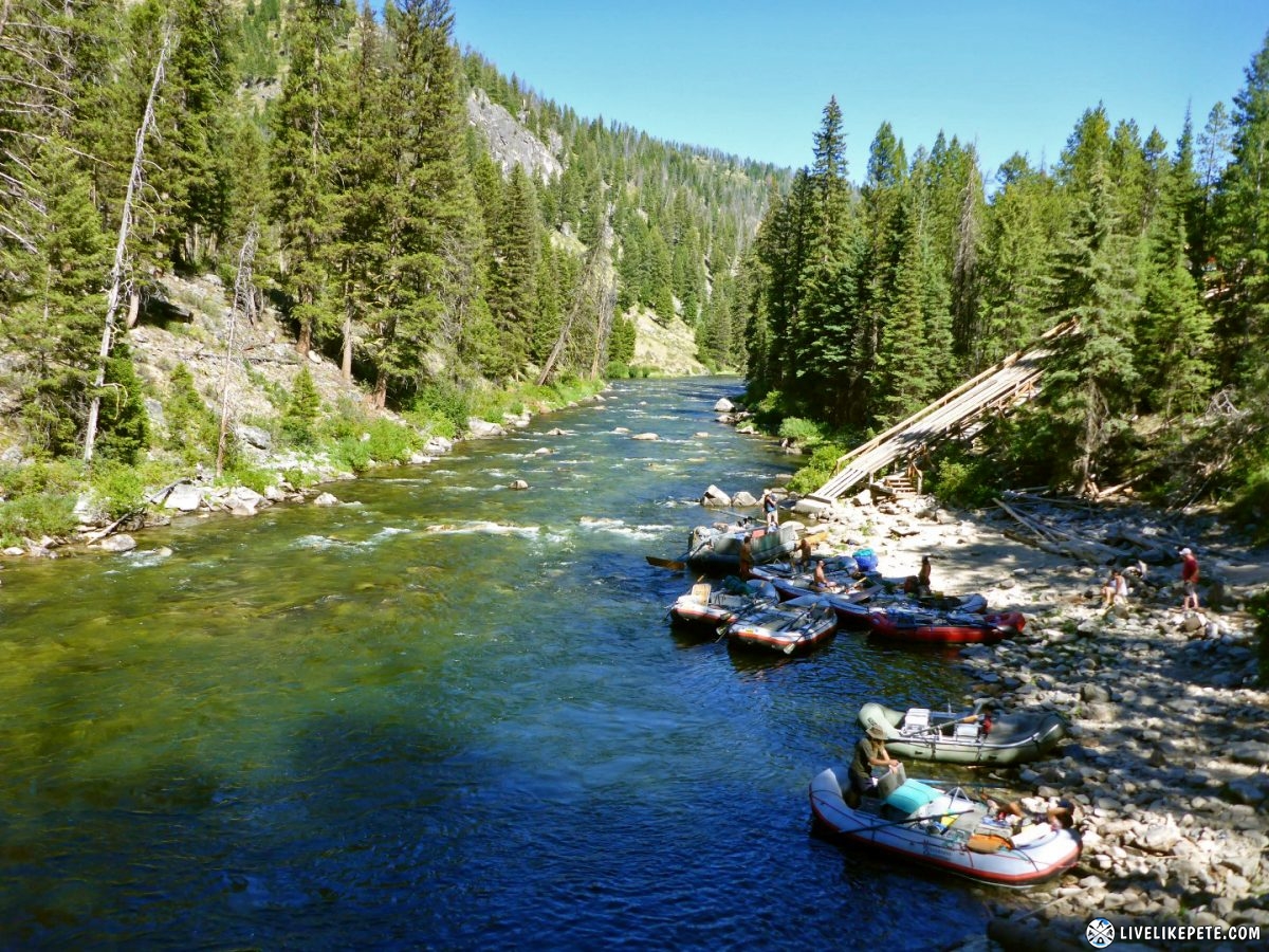
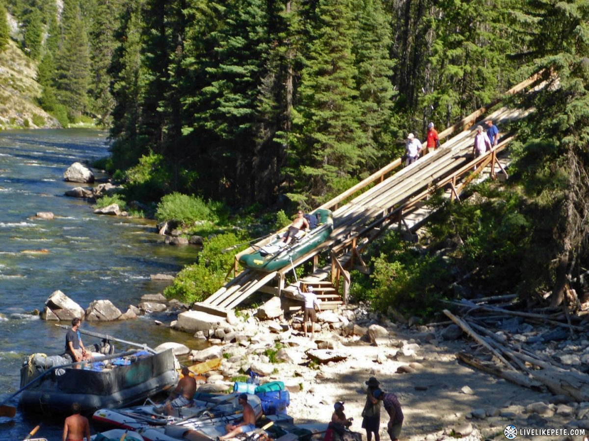
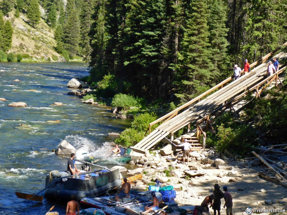
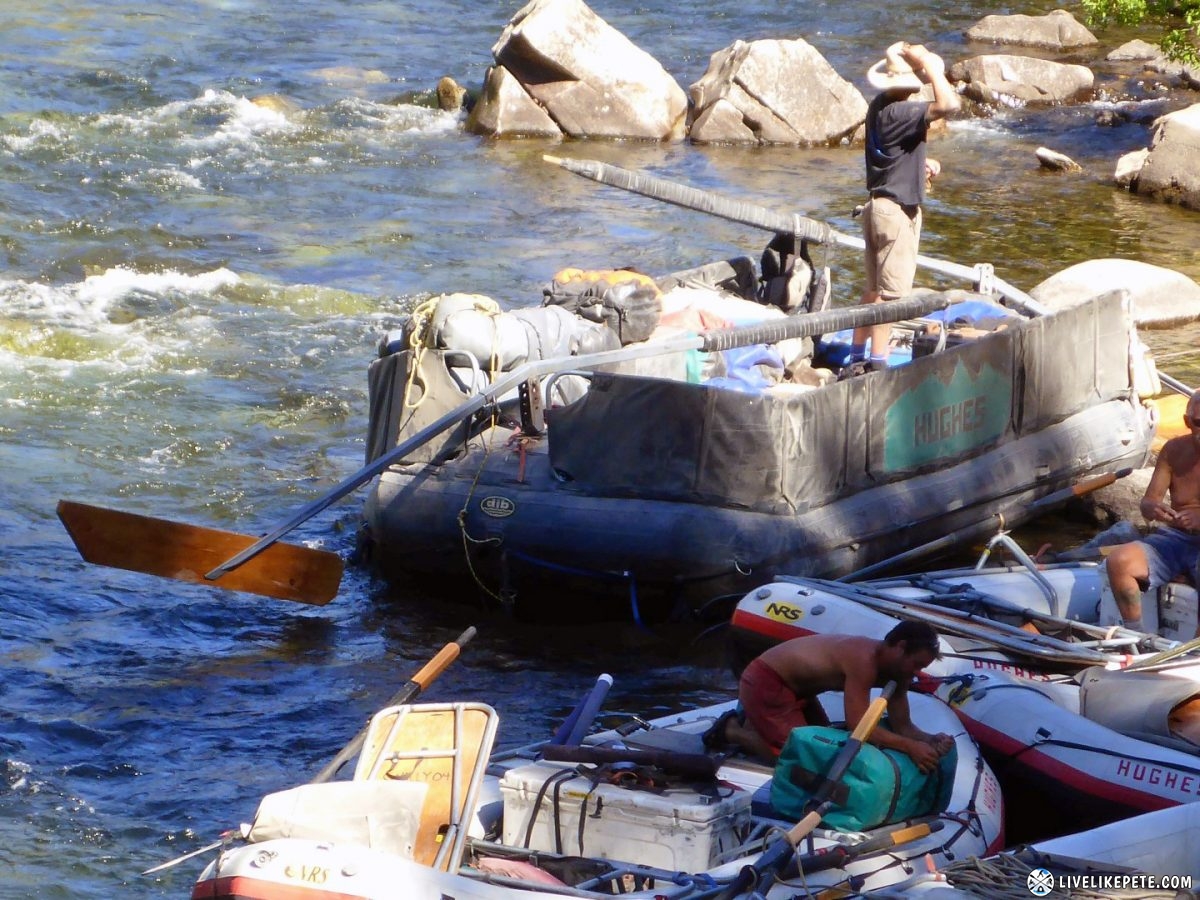
We stopped at Boundary Creek to check out the rafting guys put there boats in the water. The launch ramp was interesting. There was a huge wooden slide they used to walk their boats down to the river. One group had a guy take a little ride down. They released the boat and he slid down into the water. Looked fun!
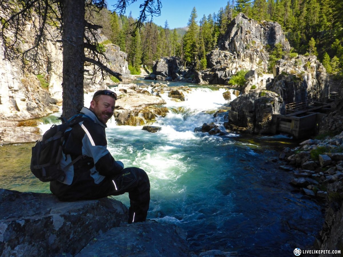
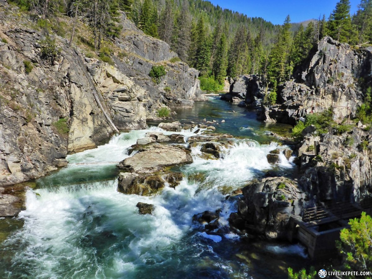
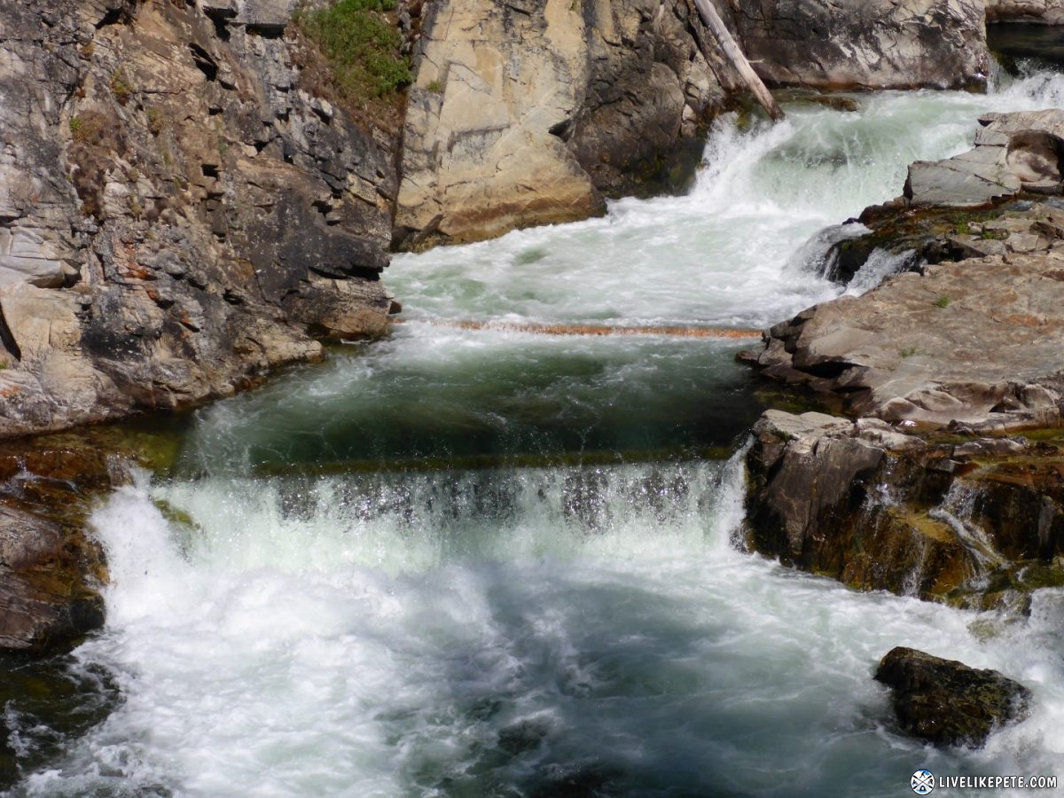
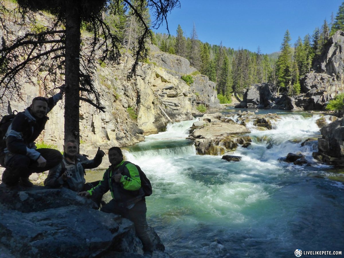
Then on to Dagger Falls! It was awesome! I don’t know why I have such a fascination with waterfalls lately, but there’s something about them that grabs my attention. The way I see it, they are ultimately nature in action.
Group photo! Make a mental note of the next two photos for when you watch the highlight video later in this trip report. You’ll laugh.
After Dagger Falls, we backtracked and headed south through Bear Valley to find a place to camp.
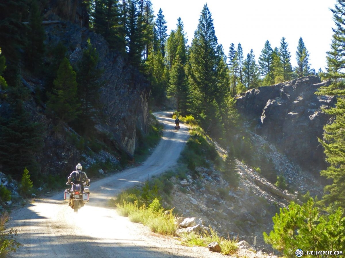
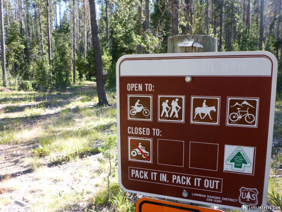
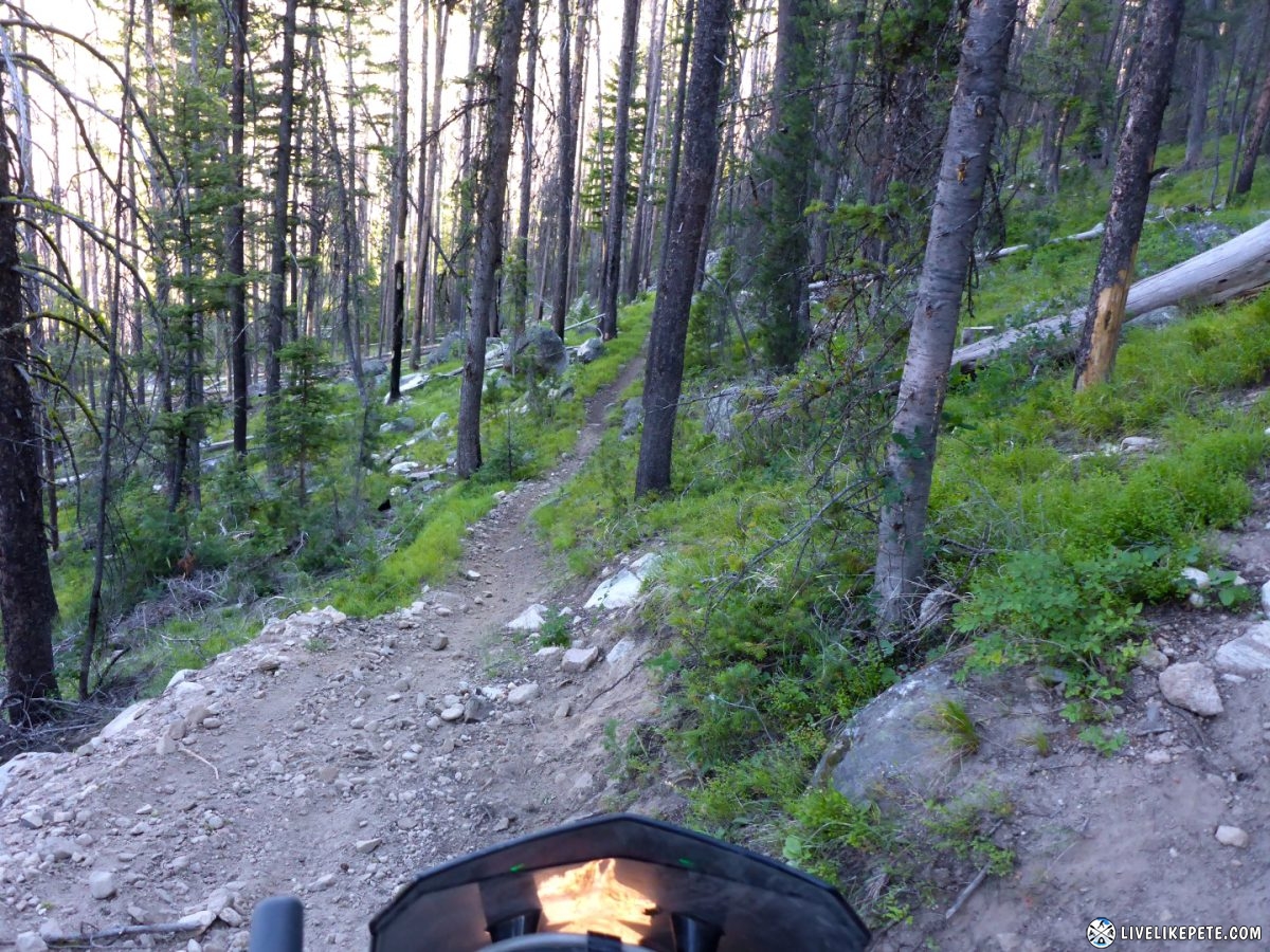
Along the way I was distracted by a small sign off the side of Bear Valley Rd. At first it looked like “no motorcycles”, but again I found out you can’t read Idaho signs too quickly. NO ATV’S! Motorcycles allowed. This was SINGLETRACK at it’s finest! Steve knew I wanted to check it out badly. He said you have to hit it! So I did.
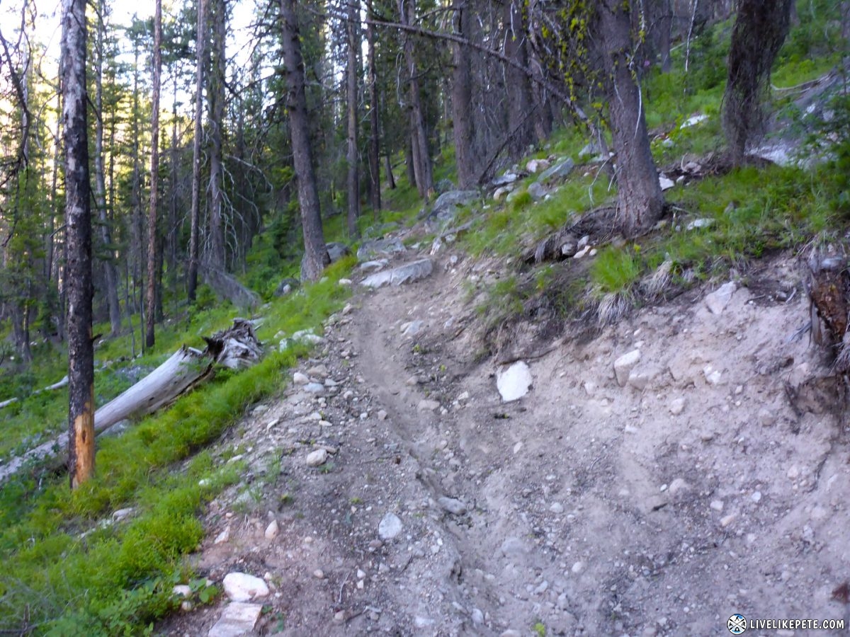
I promised I’d only go in a few miles at the most and then turn around. It was epic! The track was super narrow and had drop offs on the sides. I was ducking under tree branches, going through water crossings and negotiating my way with my heavy pig through the forest…barely. My bike had all my luggage on it. Tight singletrack, which was perfect for a 225 lb 2 stroke motorcycle, was quite a challenge for a fully loaded, middle weight adventure bike. It started getting tighter and tighter and then got steeper and steeper. I found a hairpin switchback where I was able to turn my bike around and head back. I really wanted to keep going, but I didn’t want to get to a spot where I couldn’t turn my pig around. That and I didn’t want Brian and Steve to start to wonder about me. I was super winded so I took a break and turned around.
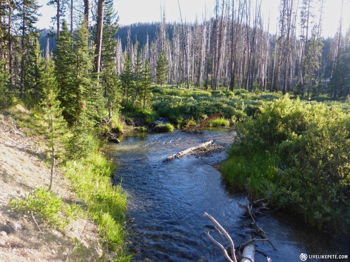
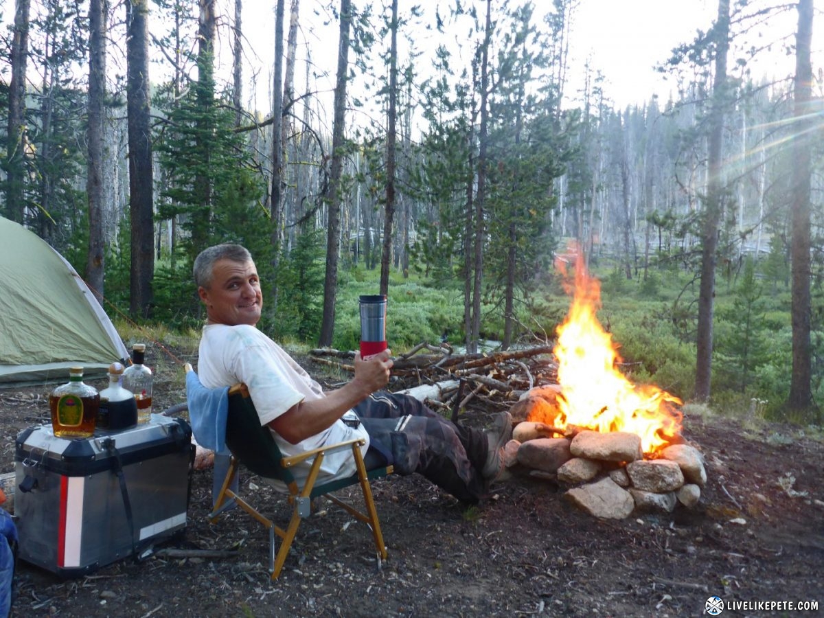
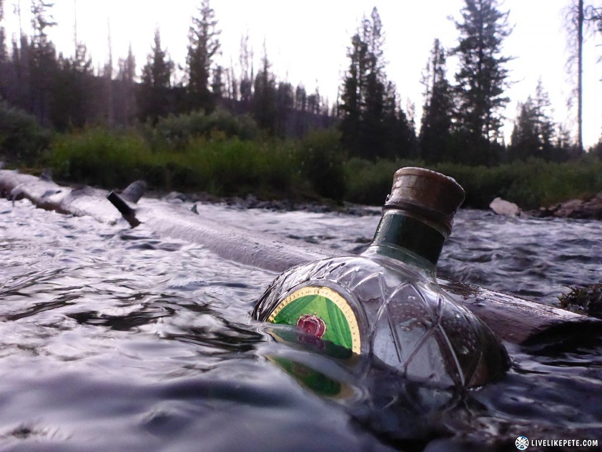
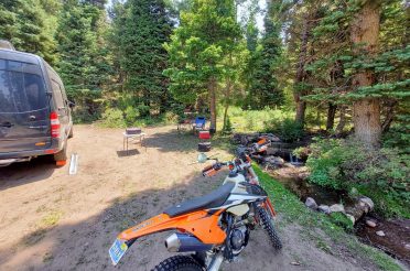
After I got back to the trail head, I noticed there was no Steve or Brian. Crap. Ok, no big deal they’re probably just down the road. So I headed to the next turnoff at the highway about 10 miles down. They weren’t there. Next plan…I hauled butt down the highway to Bull Trout Campground area since we discussed that as a possibility. No Steve or Brian there either. Ok now what? There is no phone reception anywhere so we couldn’t call each other. I jammed back down the dirt road and found Steve & Brian at the singletrack trail head waiting for me. Phew! I guess Steve went to go get Brian while I was on the trail. He was scoping out a possible camp spot along Bear Valley Rd. We all found each other and claimed the awesome camp spot that Brian found right next to Fir Creek. I think the water was even 22 feet away, right up to our new Idaho camping standards. It was time to bust out those drinks and celebrate our last night camping! We took a quick shot and then chilled out bottles in the stream since we had no ice. It worked out perfect. That water had to be in the 40’s. It was cold!
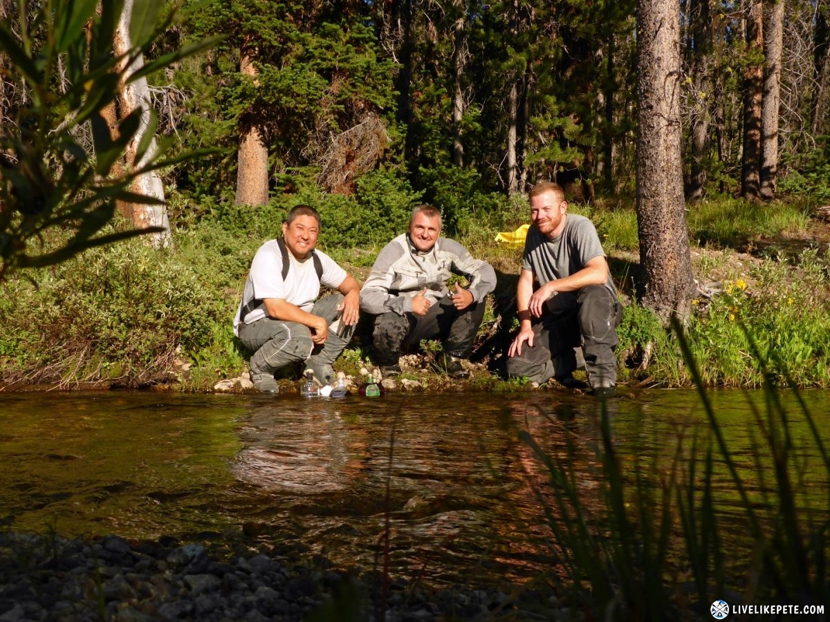
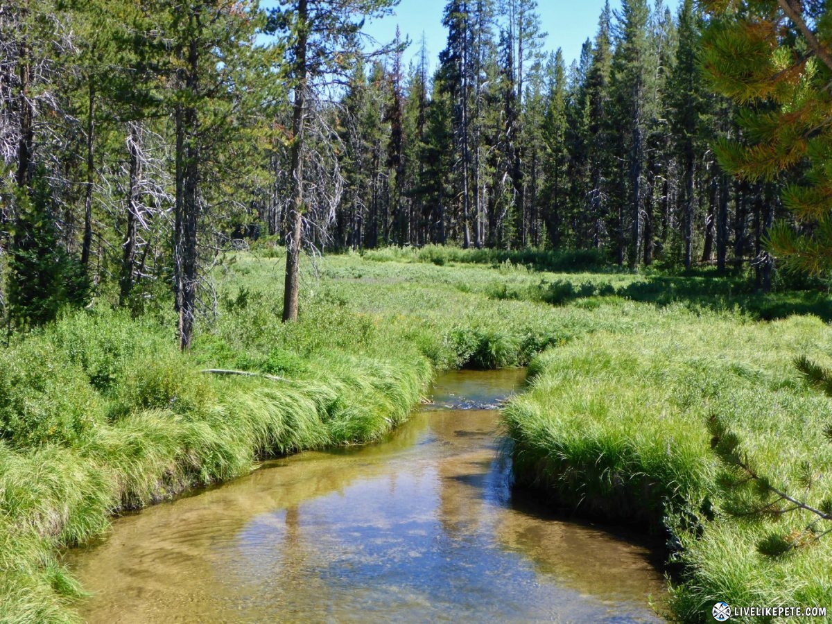
The stream next to our camp was awesome.
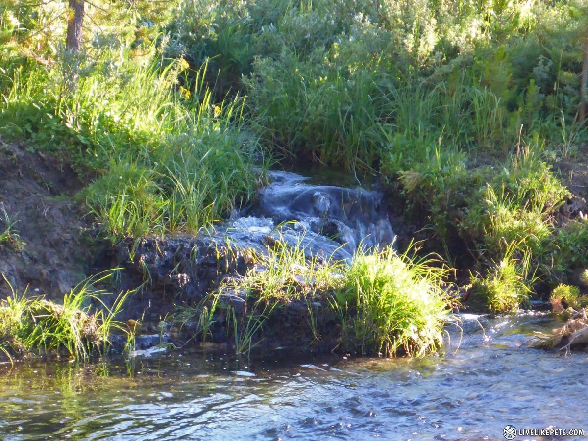
We even had our own little personal waterfall.
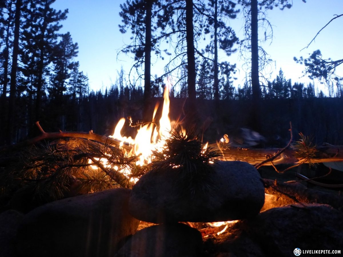
We were a little worried about the area being slightly buggy, but every place was like that around sun down. A fire was made and life was good! The bugs went away after that.
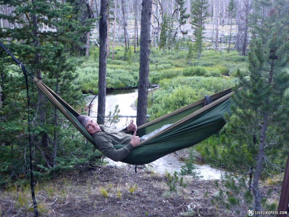
Steve found a spot overlooking the water for his hammock.
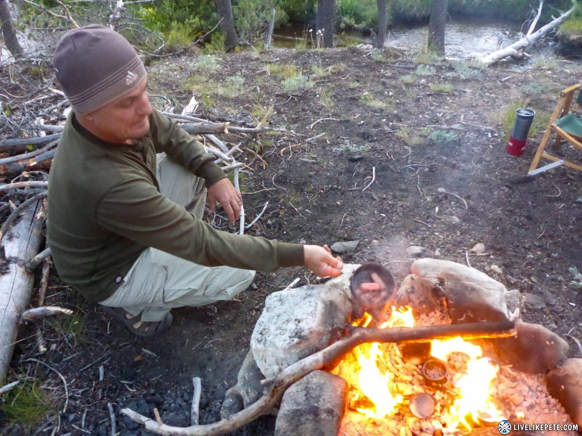
Steve brought some canned Vienna sausages. We all tried them. They were nasty. So Steve thought maybe we could cook them and flambé them in Apple Crown. LOL Nope, still nasty as hell.
The stream worked great for chilling the whiskey, not so much for bathing. I took a quick splash bath instead of the full dunk in this water. It was freezing!
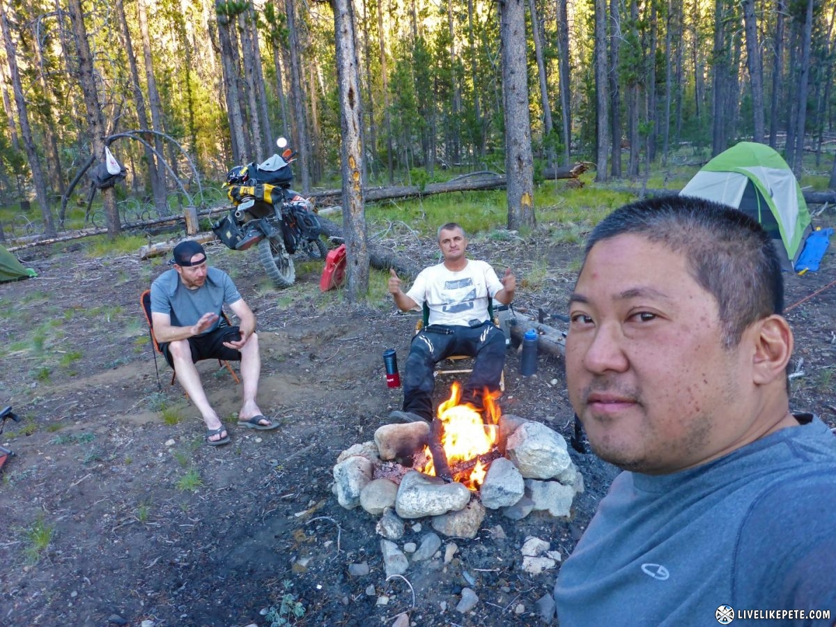
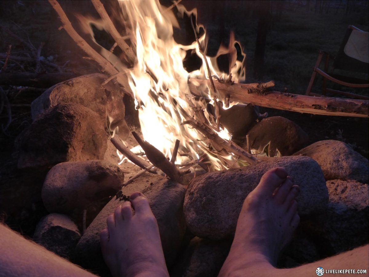
The fire felt so good that night. The hot rocks felt amazing on my feet.
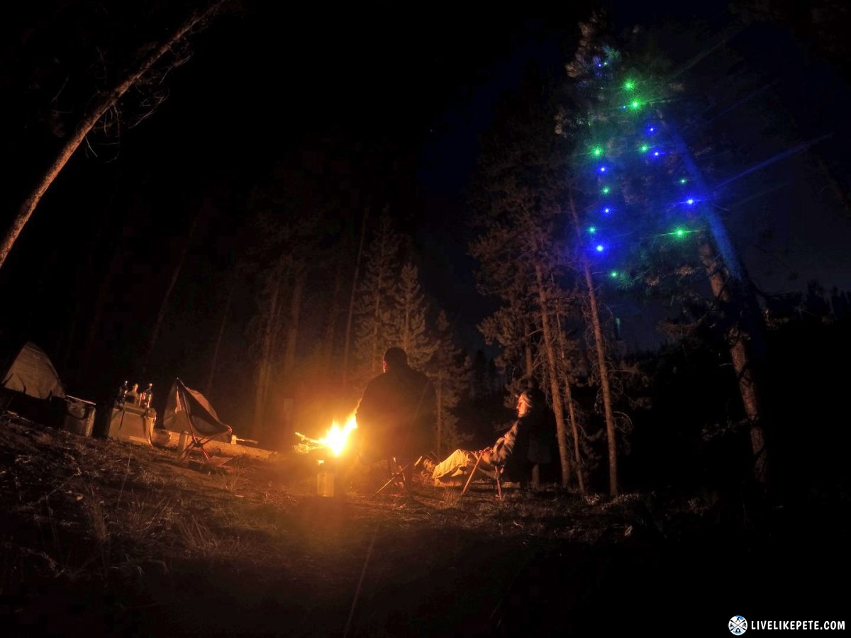
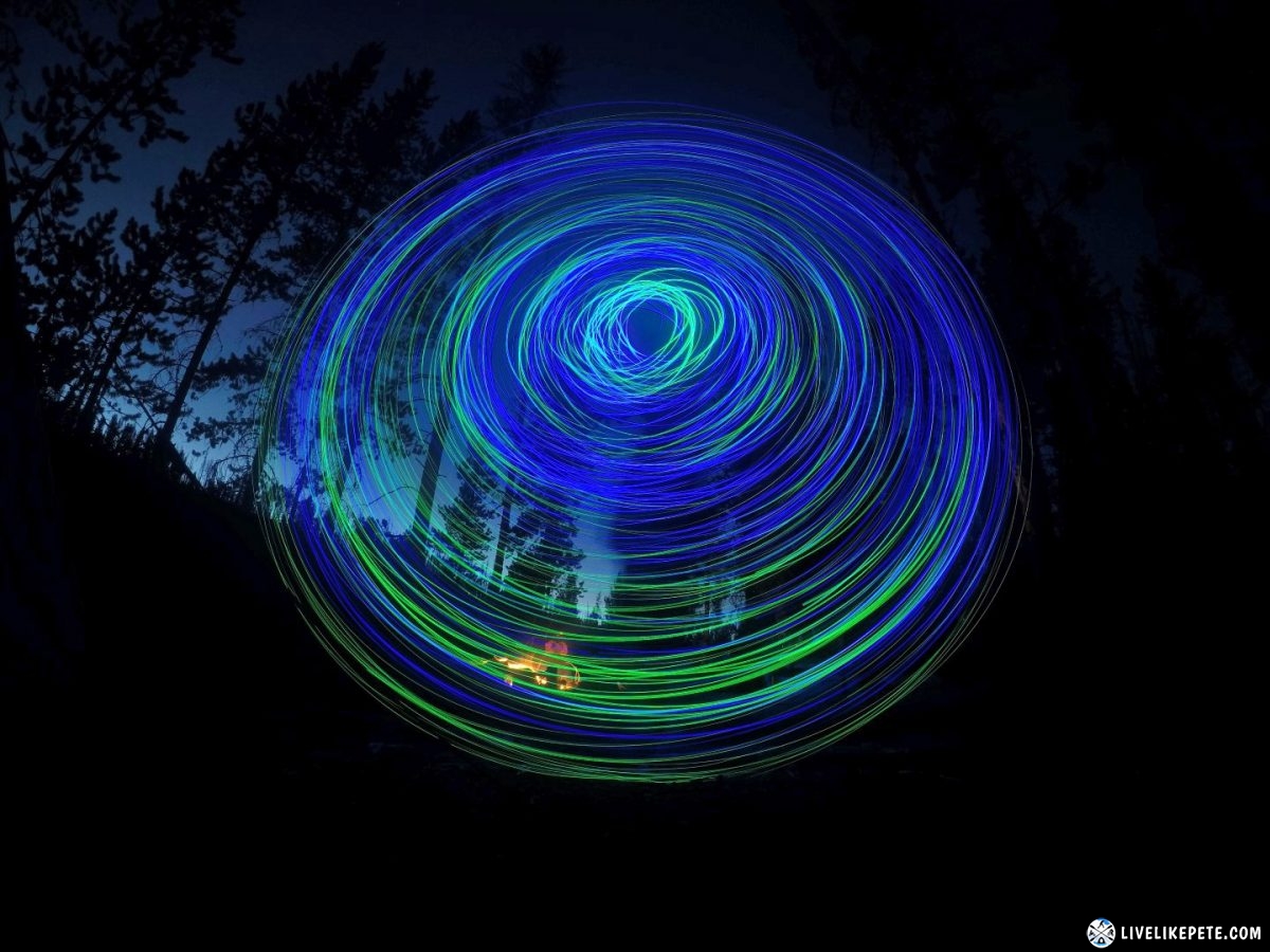
Then the whiskey kicked in. Steve brought out his hammock LEDs and decorated camp.
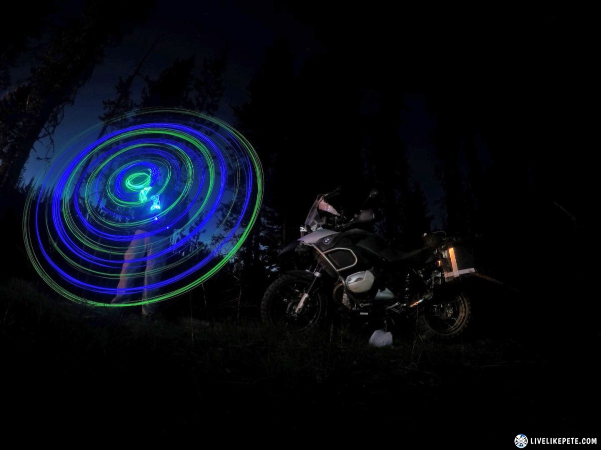
We had our own Electric Daisy Carnival fun with the lights. They made for some cool, long exposure shots.
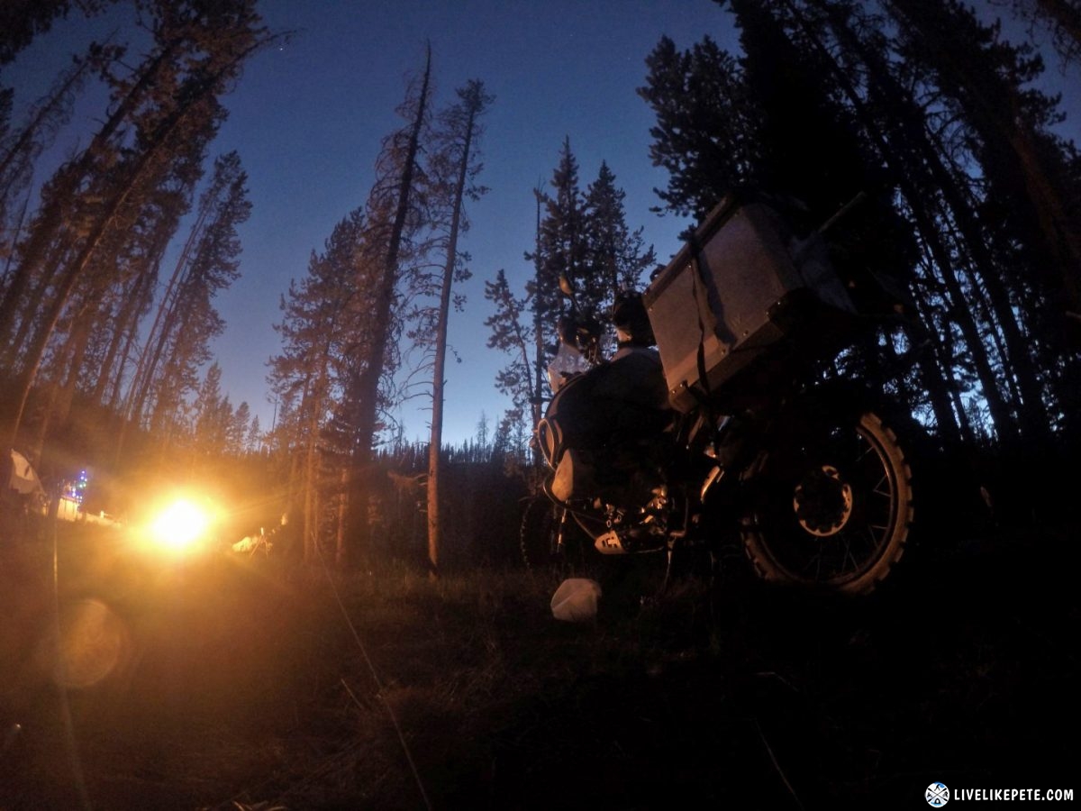
Photo shoot with Oprah. We can’t leave her out. Afterall it’s not an adventure ride photo without a BMW GS in it right?
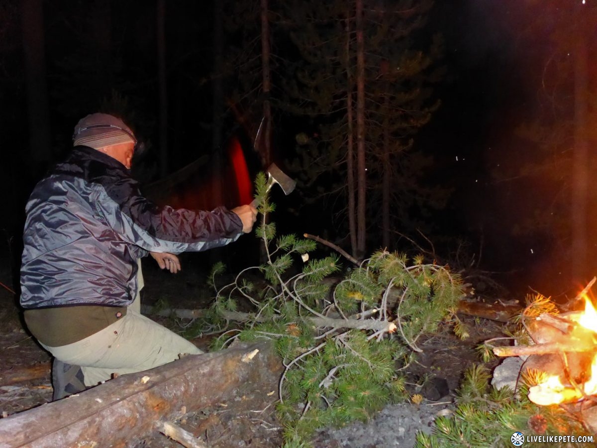
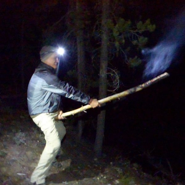
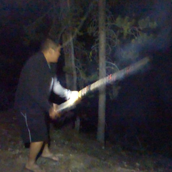
We went through a bunch of firewood. Steve used his hatchet to chop up some more wood late into the night. After all, we had a little more whiskey to drink.
The fire was going good….
…and so was the whiskey!
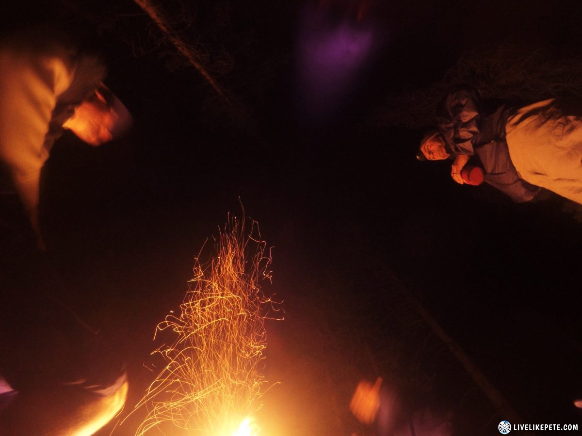
When the whiskey finally runs out, this is what happens. Don’t ask.
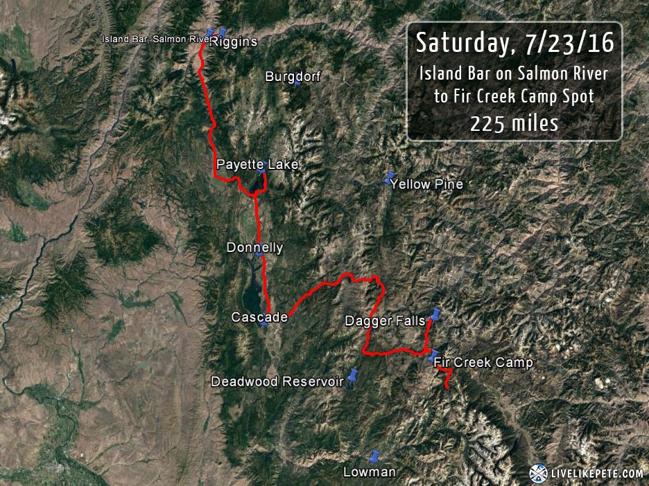
Download this track
Right-click HERE and [save link as] to your computer.
This will save the GPX file rather than a text file.

3 Responses
Deven
I want a GPS lesson.. Lol one thing I’ve never been good at. What GPS were you using?
Been looking to build an XR to do some adventure riding. Where is next years trip?
Pete
I was using a Garmin 62S. It’s very rugged and easy to follow a track. The most time consuming part is putting together a track from scratch. It’s not hard to do, but it takes a little time especially if you’re planning on going somewhere you have never been to. I’m actually going to be putting together an informative guide on how to build a GPS track and plan a trip like this using Google Earth, Google Maps, Garmin Basecamp, and other easy to use software.
Next trip…good question! It’s been on my mind as soon as we were driving home. I’ve already been thinking alot about that. I’d love to get up into Oregon and Washington, but I feel there are more parts of Colorado that I want to explore first. Sign up for the newsletter on the homepage and you’ll be notified when I post up new stuff.
Hail Dentboy
Wow what a great write up… Looks like an amazing trip. Makes me want to get a bike..Absolutely beautiful scenery. Awesome job documenting everything.